Yale Lake July

23 07 2011

Well, there is a chain of reservoirs north of Portland, Oregon, in the Lewis River system. They are about an hour’s drive north depending on the route one takes. They all lie in Mt. St. Helens’ shadow…and one, Yale Lake, has a grand view of this notorious peak.

I’ve been there twice this month. First time with my meetup group. We arrived on a Thursday and checked out the Siouxon Creek arm of the lake.

It’s clear and beautiful, and we paddled all the way up to the river’s confluence.

Arnold had lunch…whoa…a whole apple pie! Arnold is always good to have along.

Amanda is one of my favorite meetup members! She’s very outgoing, athletic, and fun! She was our tour guide. We had some beer at the Laurelwood in Battleground, after the paddle.

My first time up there I couldn’t see the visual treat Yale Lake is famed for. But I returned on July 22nd late in the day and was rewarded with a spec-tacular sight!

WOW.

I also managed a video…on this day there were 2-3 motorboats on the lake plus a canoe. I understand it’s jammed with water skiers on the weekends!


Metolius and Big Lake, Oregon

27 06 2011

I returned to the Metolius River area because the weather there was forecast to be 70 degrees and sunny. I’d planned to check out some areas near Yale Lake, WA, but the weather up there was due to be poor – drizzly and 55 degrees.

Clouds breaking up at the crest of the Cascades

I don’t know if it’s because I like to spend time outside, or if it’s because I’m living in Portland, Oregon, where it is dismally cloudy each spring, but in the summer I get a salmon-like cabin fever drive to get out of town and enjoy the beautiful weather in the summer. I really feel like any free time spent in town is wasting opportunities to squeeze in as much outdoors time as possible!

So I chose to go where the weather looked great. And that meant Metolius. Metolius sits in a valley, and just to the west lie Oregon’s Mt. Washington, Three Fingered Jack, and Mt. Jefferson.

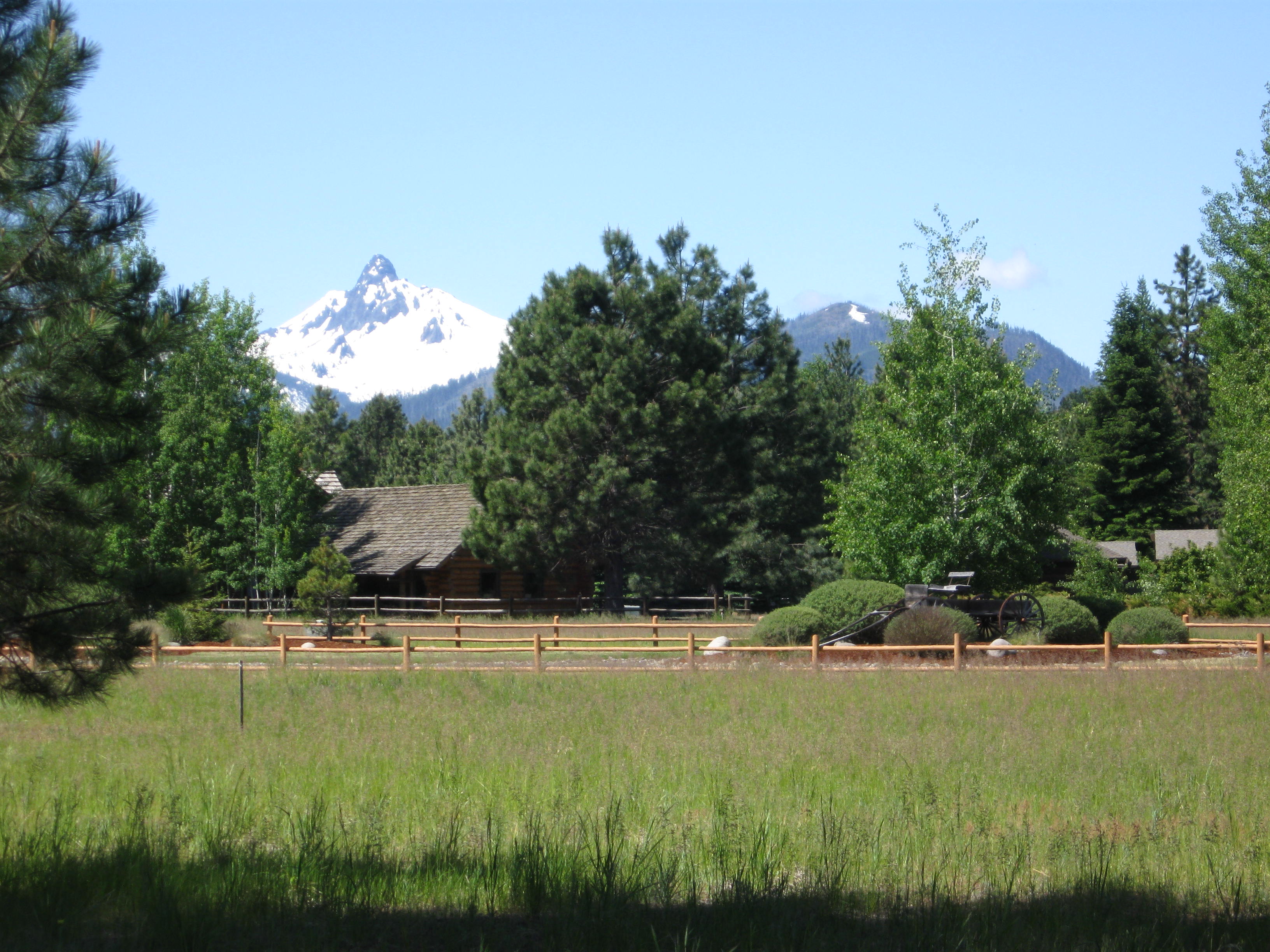
Nice yard view.

There are a few homes in the valley with backyard views of these peaks. In this early summer, with so much green in the valleys and the white of the mountains, the view is eye-popping.

On my way to Metolius, the highway passed Hoodoo Ski Area, and just behind Hoodoo sits a recreation area I’d seen on my map called Big Lake. Not in any hurry, I stopped in to Big Lake. The elevation is 4,650 feet, since it’s right on the high Cascades pass.

The road to Big Lake led through 6 – 8ft tall snow drifts on either side. The road led to a campground on the lake, which had spectacular views of Mount Washington.

Much to my surprise, the campground was completely empty. My guess was that the snow had just melted enough to allow vehicles in.

It was lovely and warm. So I took my kayak out for a paddle, exploring its back marshes and coves. There were no bugs – but as there were a lot of snow melt pools nearby, in two weeks the mosquitoes will be unbearable. But on this day, it was bug-free and all mine!

I could see that Big Lake might not be a good choice in mid-summer. It’s got a lot of ATV trails nearby…I could imagine lots of RVs pulling noisy ATVs and the campground full of noisy RVs and their generators…but today, it was quiet and lovely!


Metolius River Never Disappoints!

22 06 2011

Right now, I’m working at Alder Creek Kayak and Canoe, and that means weekends working. Sooo, to get away during Oregon’s dry season, I gotta just take off midweek. Sometimes it’s alone.

At home at the walk-in sites at Allen Springs Campground

A reliable choice is the Metolius River area – and this time it turned out perfect.

Weatherwise, that is. However, my favorite spot, Allen Springs Campground, had been taken over by the RV crowd. Nevertheless, thankfully it’s got walk-in campsites away from that scene. I found peace and was invisible from the other sites.

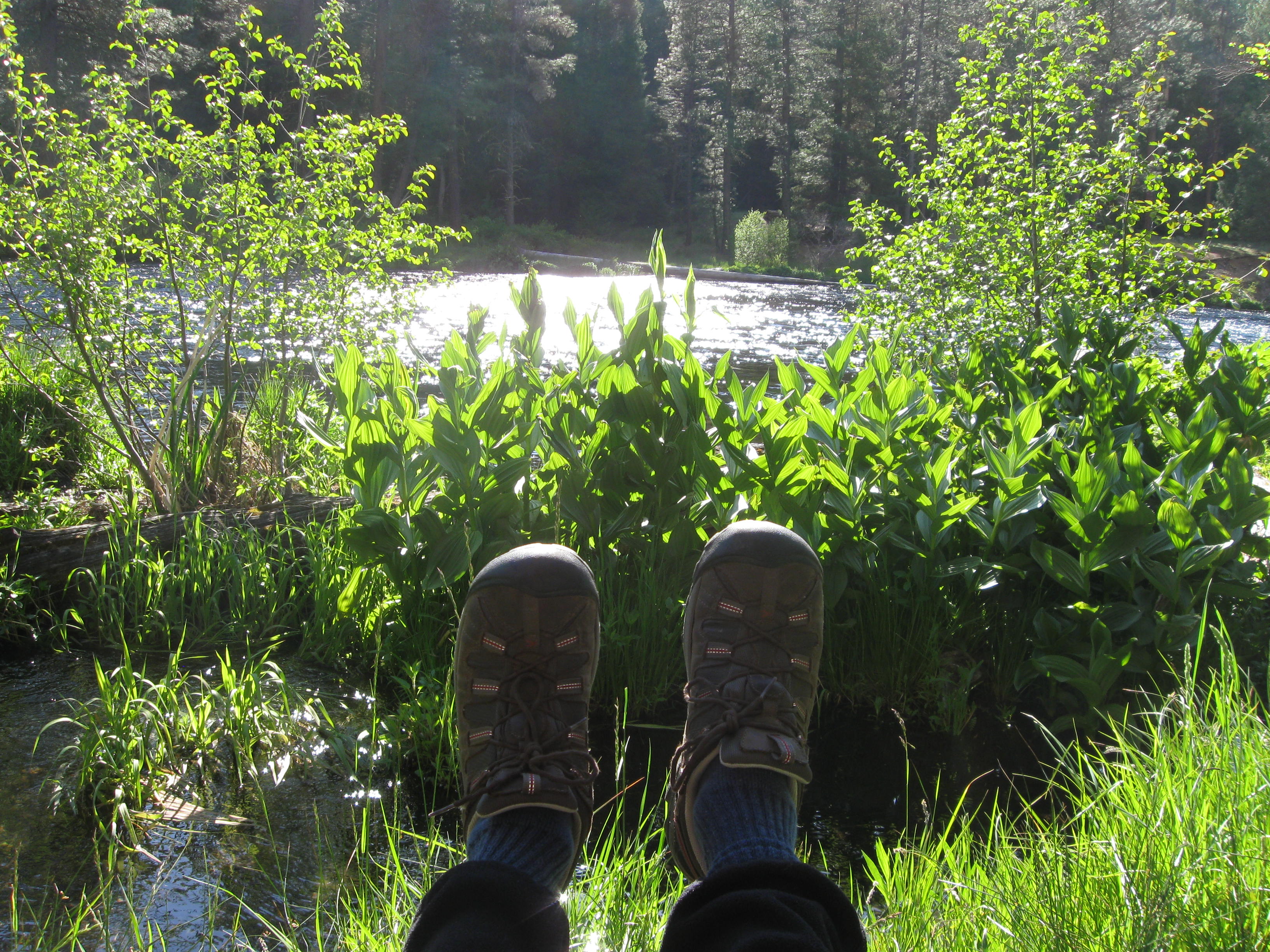
I had a sunny, warm spot to hang out and read!

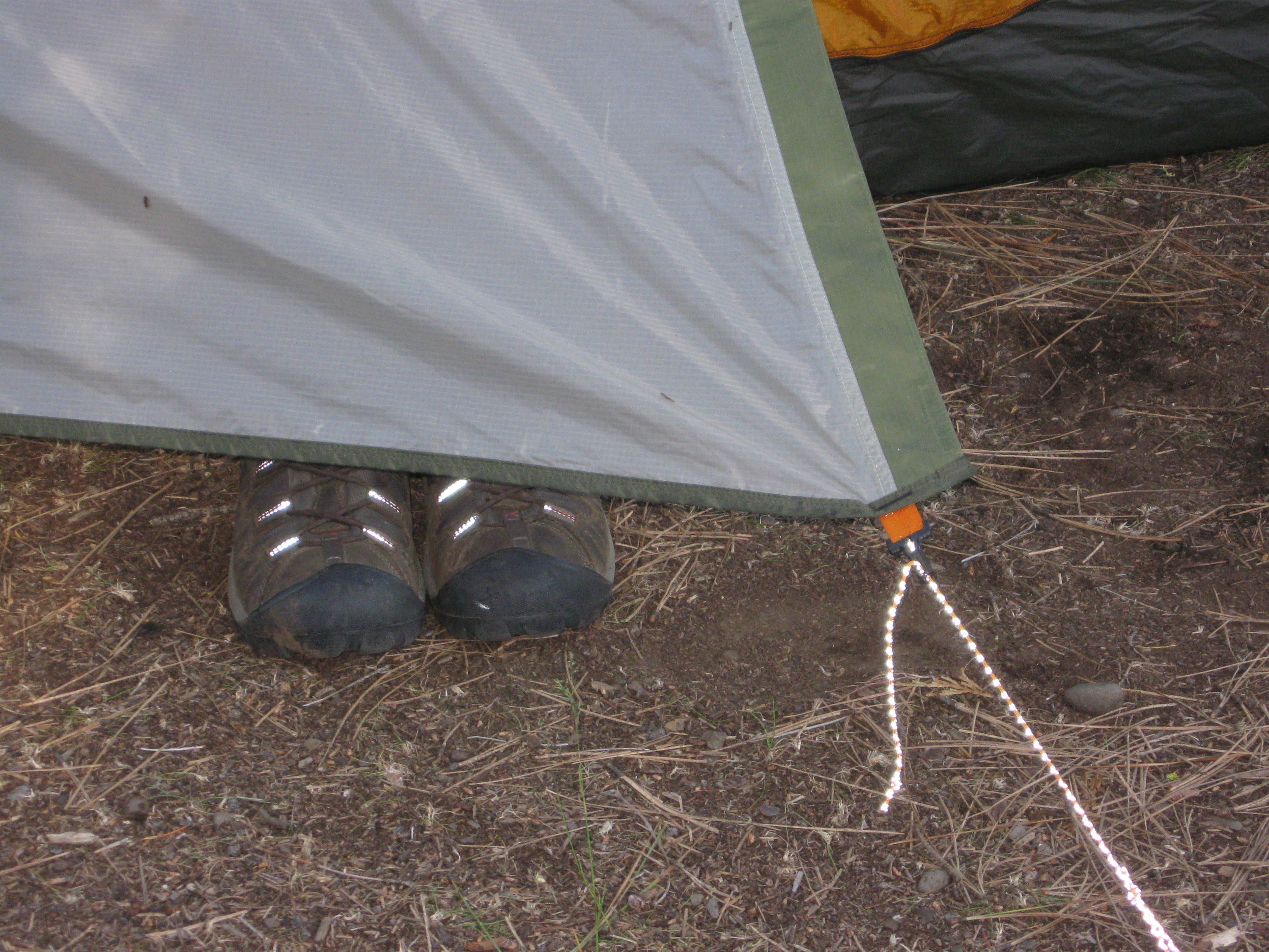
My Keen Targhee II shoes, ready for anything!Ahh, nice, warm crackling campfire!And a windy paddle on Suttle Lake to round things out!

It was so pretty and comfy.

And simple. I just read some overdue reading material, and had a nice time with the campfire and then was lulled to sleep by the sounds of the river.


Recommended! Get a hand-crafted sandwich at Camp Sherman Store! I had a turkey sandwich piled HIGH with 2″ of turkey! WOW! And they cooked the bacon for it right then and there!

After a perfect night under the stars, I enjoyed a morning campfire.

Took a walk along the river in my Keen Targhee II shoes!

Following that, packed up and headed to Suttle Lake, off Oregon’s Hwy 20 with its Cascade views.

The highlight was the 30 mph winds, which were a lot of fun to play in!

The burbling Metolius is a perfect place for quality time with the kiddos!


Memorial Day Camping along Oregon’s John Day River – Escaping the Rain!

30 05 2011

Lazy days in Mitchell, Oregon

2011 has been one of the rainiest/coldest on record in Oregon. With only a few sunny days in the 70’s, May has felt a lot like February! The summer season typically kicks off in Oregon’s Cascades around Memorial Day but in 2011, all the mountain campgrounds are still under snow!

Solution? Head east! Oregon’s reputation for rain belies the fact that most of the state is high desert.

When most Oregonians think “high desert” they think the Three Sisters / Bend region. While that area has great weather and is beautiful, it’s become full of tourists.

Truly beautiful and overlooked is the region between Condon / Service Creek / Spray and Mitchell. Head there and you’d think you were in northern Arizona. Plus, locals are really friendly, it hasn’t been wrapped in tourist trap coffee shops, wildlife art galleries and microbreweries. It’s as it was.

I got three days off from Alder Creek so I could spend some time out there, to help celebrate my upcoming 50th birthday. My longtime friend from college Tully Alford came along. We loaded up the bikes and overburdened my VW Jetta Wagon with campfire wood and headed east! We had great weather that first day.

I’d scouted the area in early May and found this BLM Campground called Muleshoe right along the river. That was our target. Once past Service Creek, along Oregon Hwy 19, we came to the campground. True to form, the road was empty, as was the campground. We had it to ourselves!

Some campgrounds offer both sites with drive-in parking and other sites called “primitive” or “walk in.”

I have always found the walk in sites superior to the others.

These sites are more separated, with more trees and shrubs offering a more privacy and outdoorsy experience. True to form, at Muleshoe’s primitive sites were far and away the best. In this region, shade is paramount, and we picked a site with a lovely juniper tree above the picnic table.

So we set up camp, including the QuickUp shelter borrowed from my neighbors Janis and Brent Campbell! That shelter is KEY. Not only does it provide much needed shade on hot desert days, but we wound up spending a couple hours underneath it our second night, during a rainy spell!

Yes, although these photos show the sun, we had all kinds of weather in three days. We began with sun in the high 70’s, with a warm star filled evening, but day two broke cloudy. No rain until after 5:00 though. Then a cold front swept through with some wind. We weighed down the canopy so it wouldn’t blow away. I had to don a winter parka. The following morning was 100% clear, warm and bright. I ditched the fleece for shorts. But on our return through Prineville, that same day, we had some snow flurries! That’s 2011 spring in Oregon…back and forth all day.

The area is geologically significant, and its geology made fossilization of millions of years of plants and animals possible. We were driving the Journey Through Time Highway.

Going back some 60 million years, repeated ash falls from volcanoes and basaltic flows covered the area.

The region is a pancake of layers of ash, basalt and other evidence of such activity.

Those layers have been uplifted by tectonic forces lying deep beneath Oregon, the North American and Pacific Plates, which intersect there.

All these layers are younger than the dinosaur era. So there are myriad early mammals that sprang up, evolved and became extinct.

We took a hike up one of the fossil bearing canyons. It was completely otherworldly in there. There were examples along the trail of turtle, saber toothed cat and bird fossils.

Later, we visited the John Day Fossil Beds National Monument Information Center. It’s worth visiting and we took in an 18-minute film detailing the rich fossil record found in the area. The ash falls fell on creatures and the chemical nature of the ash preserved them.

Our last day dawned clear and warm. After excellent breakfast of oatmeal, blueberries, banana, yogurt and a few strips of campfire bacon we headed back to Portland through Prineville. It snowed on the way to Prineville! Maybe we’ll have summer in Oregon…but when?


John Day River Region, Oregon Day 2

19 05 2011

Morning Joe

I camped overnight. The only camping place I saw on my Oregon Atlas was the Shelton Wayside. I knew it had 40 sites and was open. It is about 15 minutes from the John Day River.

It has a brook running through it. Otherwise unremarkable. There was a vacant camp host RV in the campground.  I was the only camper. I had a nice fire and dinner, and went to bed.

In the morning I awoke to gobbles from a wild turkey before dawn! That guy would not be quiet. He was determined to let other turkeys both male and female know he was the dominant guy around!

Once done with a breakfast of oats, fruit and yogurt I packed up and headed out. Down to Service Creek, up John Day to Spray.

Wow. I hadn’t seen this stretch of the river before! I was totally impressed! It was so beautiful, green, serene, with the brown hillsides above. I drove along the river, it bending, winding, and with the town of Spray as a simple destination.
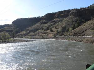
The river was in a pretty mellow state. I was due to return to the area in late spring with my friend Tully for a boys out weekend. It looked perfect, and I could envision getting some boats out on the river.

In Spray, I found another sleepy town in the John Day region.
It probably has less than two thousand people total in town. It had some lodging and a little city park on the river.

On the outskirts, the river winded through a farmers green field surrounded by the beautiful mountains. It was so peaceful, and the cows were just sitting in the fields admiring the view.

Though a lonely town, I could see the attraction of Spray. Such beauty, unspoiled by the buzz of big city life, not being bothered with the constant need to keep up with the Internet, social media, and all that. Just letting the day flow with the season etc.

Later on, I drove back past Service Creek, and found a road that took me too a place called Twickenham. Holy Cow was this a silly beautiful road. It just wound through the canyons and I was so mesmerized I just let the car coast down the roads through little gulleys and canyons where homesteaders had stakes out their places, each green against the stark brown of the valley walls above.

Finally I arrived in Twickenham, which is nothing more than a few ranches with a bridge over the John Day River.

The scene at Twickenham is just so pretty. The green valley with the lazy river flowing along, little human activity going on, and lots of birds doing their thing.

From here, I had to make some decisions which the map I had could not provide. I decided to take a dirt track around a mountain which seemed to wind up at the Painted Hills National Monument.

Truth was, I really did not know if the road would go where I wanted, and I was a bit concerned about gas.

More to come. I finally did find the Painted Hills…

I saw a dotted line around a mountain on the map and a road to “Burnt Ranch” on the other side…and then it seemed to lead to the Painted Hills…so I took it. It soon became a dirt track and I really wondered if I’d get lost. Earlier in the day I’d been searching for a “Dry Hollow Road” on the map – it just did not exist. Or, if it did, it had to be this dirt road running behind a mobile home!

So, I arrived at the Painted Hills.  They’re interesting. The hills are piles of ash from ancient eruptions, that turned into clay. When it rains the hills absorb and hold the moisture and become so hard that plants cannot get a toe hold. They also change color with moisture.

There is a small hiking trail through an area called Painted Cove – the elevated trail is so close to the hills that you can touch them – but touching is highly discouraged!

It’s warm and quiet out there. I took some time to pause and have lunch.

Then, it was time to head home.

I picked highway 26 back through Prineville and then through Government camp. It’s a spectacular contrast to the John Day area. Farms & ranches with the snow covered Cascade volcanoes in the distance! This was a lot of driving, but I saw some really beautiful country!


John Day River Area, Oregon, Day 1

18 05 2011

In early May I had a couple of days off and the weather forecast called for a couple of really nice days! Having extreme cabin fever brought on by months in the Portland, Oregon gray skies, I pulled the camping gear out and headed for north central Oregon!

In spring, even in May, most Cascade camping is snow bound. So if you want to car camp, you have to look elsewhere. North Central Oregon has the Deschutes and John Day Rivers. The John Day begins way east and it’s a snow melt-fed flow. It courses through sleepy valleys and ranches before wending its way into the canyons and fossil beds of the John Day Fossil Beds National Monument. There are sections where the road passes right by the river – truly beautiful, especially in spring, when the valleys are still green, and the mountains are so brown you’d swear you were in the southwest.

I started in Arlington, where Oregon 19 winds south through wind swept agricultural areas and is home to thousands of wind turbines…

All along highway 19 you view wind turbines.

The turbines stretch out in every direction. It’s an area prone to constant wind, so this comes as no surprise.

It is comforting to me to know that sizable efforts are underway to tap clean sources for electricity!

There aren’t many people out there. It’s wide spaces of farms with not much in between. Instead of flat farmland like Kansas, it’s as if that same land has been upheaved everywhere. In the distance you can glimpse snowy cascade volcanoes Mount Rainier, Mount Hood, and Mount Adams.

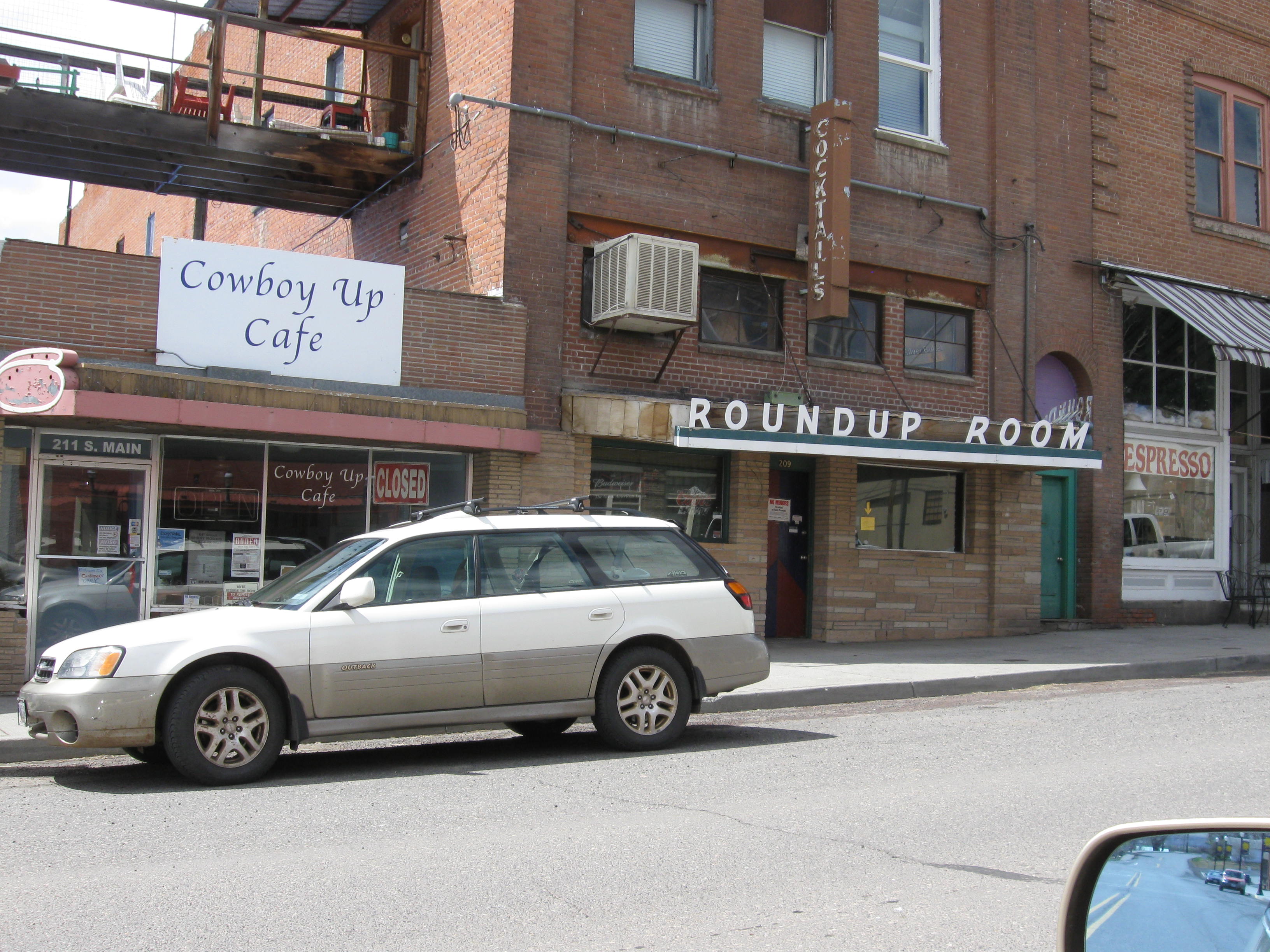
The first town you pass through is Condon. I’d never heard of Condon, but its lonely place in this part of Oregon is palpable. Its downtown has a cowboy feel, but also a feeling as its best years are behind, and that it is falling further into decay. Somehow I found this appealing.

There were architecturally significant buildings – crafted in the days when a human hand’s touch added character. But many were in disrepair. Still, I found this refreshing.
I’ve spend some time in Sisters and Joseph, and once in Condon, those places seem so fake – very gentrified. There, outsiders moved in and upgraded everything. Where as Condon is nakedly left alone, as it was, the bare bones of its old West Heritage laid bare. In some ways it is sad, in others, attractive.

The town still sports a Hotel, plus some other trappings of a frontier town…

The next town I came across was Fossil.

Fossil, Oregon, is another sleepy town quietly nestled in the hills of the John Day region. There, I witnessed cowboys passing the time with downturned hats on the porch of one of the general stores.

In Fossil, I realized I was nearing the John Day River. I saw postings advertising services for river running like shuttle services!

You are now in river running country!