The Blue Mountain Oregon Scenic Byway – Ought to be Renamed “Skyway”

10 09 2013

Blue Mtn BywayToday I took my time and ate a leisurely breakfast at Anthony Lakes. I’d check out Oregon Route 52, the Blue Mountain Oregon Scenic Byway – on my way to the Columbia River! I’d planned to spend more time out here, but a previous injury cut my trip short. I had to head back home.

I confess to starting the trip with a mending back and leg strain problem – I typically like to hike when camping, but I knew I’d just have to spend a lot of time driving. Last week, I camped, and had no problem with my mending back. But the night at Anthony Lakes was horrific. I had lots of leg pain, and getting up caused stabbing pain. These would ease with walking a bit, but remaining still, including driving for hours, or sleeping, worsened a strain in my leg. With no access to ice out here, I made up my mind to head home right away and get some attention.

The injury was caused at work lifting a heavy kayak. It caused a lower right back strain. The back strain was mending well, but somehow favoring it caused a strain in my right leg. What I learned was that inactivity like driving and then arriving at camp, just having a fire and sleeping (more inactivity) was a recipe for disaster. I decided to cut the trip short so that I could spend the night at home icing my injury in Portland.

Nevertheless, I’d travel the scenic routes on the way back to the Columbia River. Oregon Route 52 meanders along the top of Oregon’s Blue Mountains, before reaching Ukiah, Oregon, and following Oregon Route 53 along agricultural valleys and past vast wind turbine farms before connecting with the Columbia River. I decided I would have to stop every so often and walk 20 minutes to keep my leg loose.

After packing up, I headed up and over the Elkhorn Mountains, once again climbing to about 7,300ft. Once I reached the North Fork John Day River Campground, I would be at the intersection withe Route 52. There was an information kiosk. I noticed right behind some walk-in campsites and checked them out. Oh Man….! For easy walk in sites these were to die for. With the North Fork John Day River burbling right behind, and even with pre built tent staking sites. And NOBODY around. Gorgeous.

Oh well. Next time! On to the Blue Mountains. Today I was to discover something something totally unexpected. Unlike other scenic byways, most in valleys or with big mountains above, this one goes right along the tops of high altitude meandering meadows. Not only that – there are gates all along the byway where you can literally just go out and drive out there and camp. ANYWHERE.

Blue Mtn Meadow

Wow! Just go and camp anywhere.

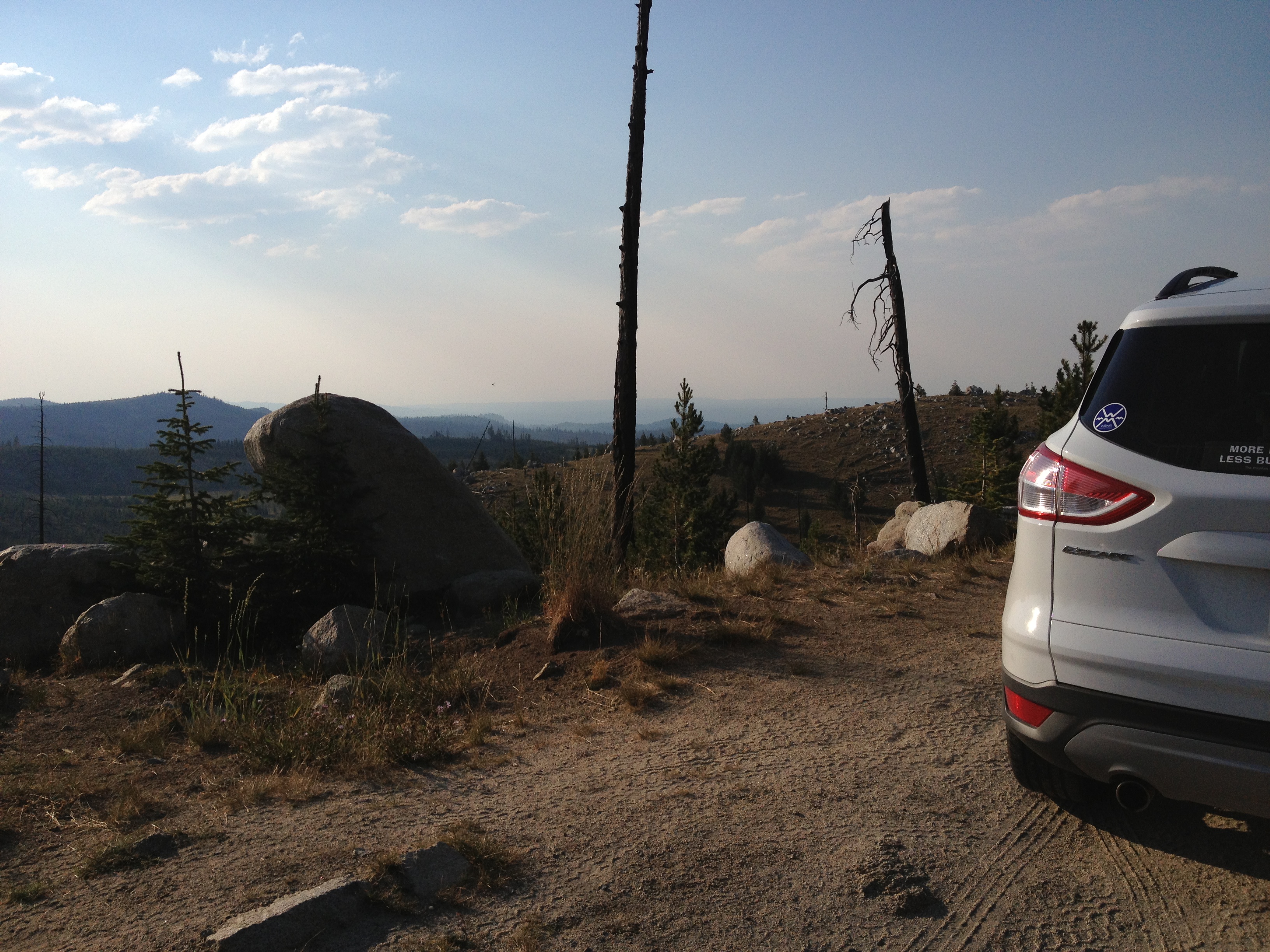
I couldn’t resist. With my new higher ground clearance car, no problem. These went from horizon to horizon! There were islands of evergreens amongst the meadow, a couple with people camping there. But no established campgrounds.

I am an avid star gazer. With no city lights around, and dry, and such horizon to horizon views, I had to come back to check out the stars out here! OMG. AND, best part: There is absolutely NO ONE out here. Seems everyone is in the Wallowas, or down by the Three Sisters?

If it weren’t for my back / thigh strain, I would definitely spend the night out here.

But I must push on.

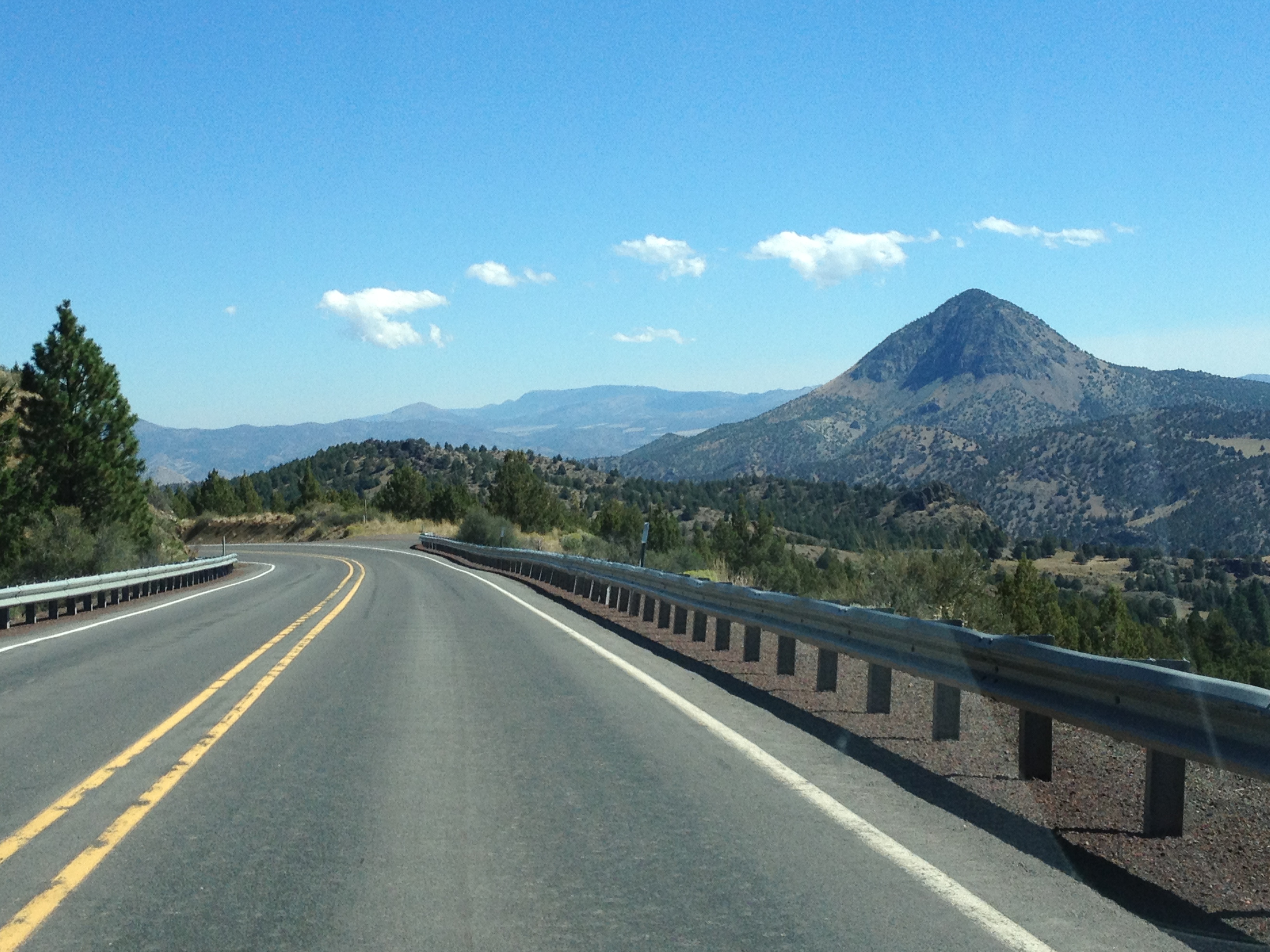
The scenic byway has many points with views west, or northwest. With nothing obstruting all the way to the horizon. The North Fork John Day River cuts through this area. Its valley seems to dominate the area.
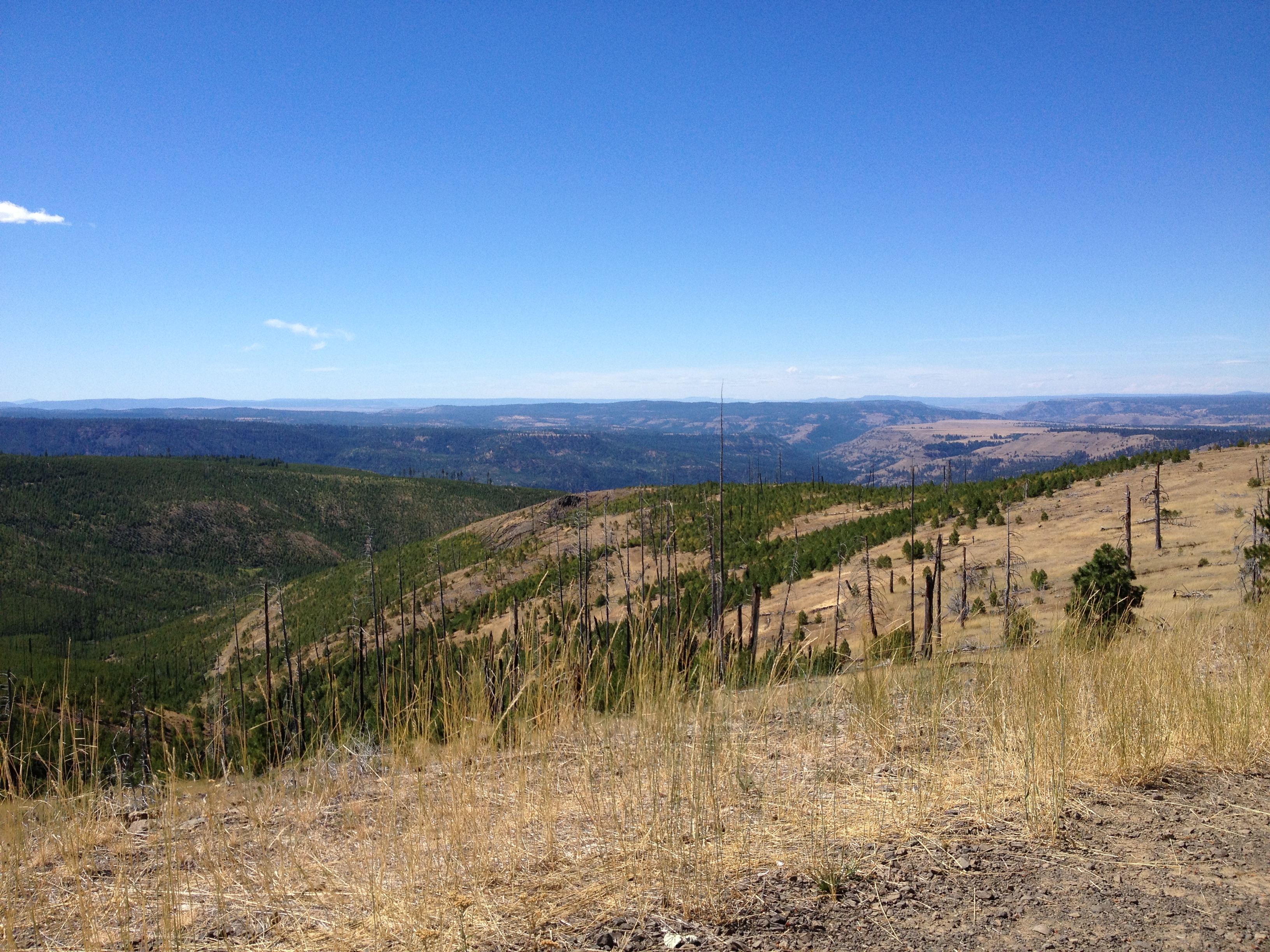
Blue Mtns ViewSometimes I felt like I could see all the way to the Pacific. I stopped at a wildlife preserve with a short interpretive hike – a great place for lunch.

The hike was only a quarter mile to a shady island with two picnic tables and limitless view. All along the way I saw coyote, elk, and deer scat. It must be busy!

When done, I descended to Ukiah.

Ukiah is another Eastern Oregon town – crazy small, with its own vibe. Clearly expressed by the welcoming committee!
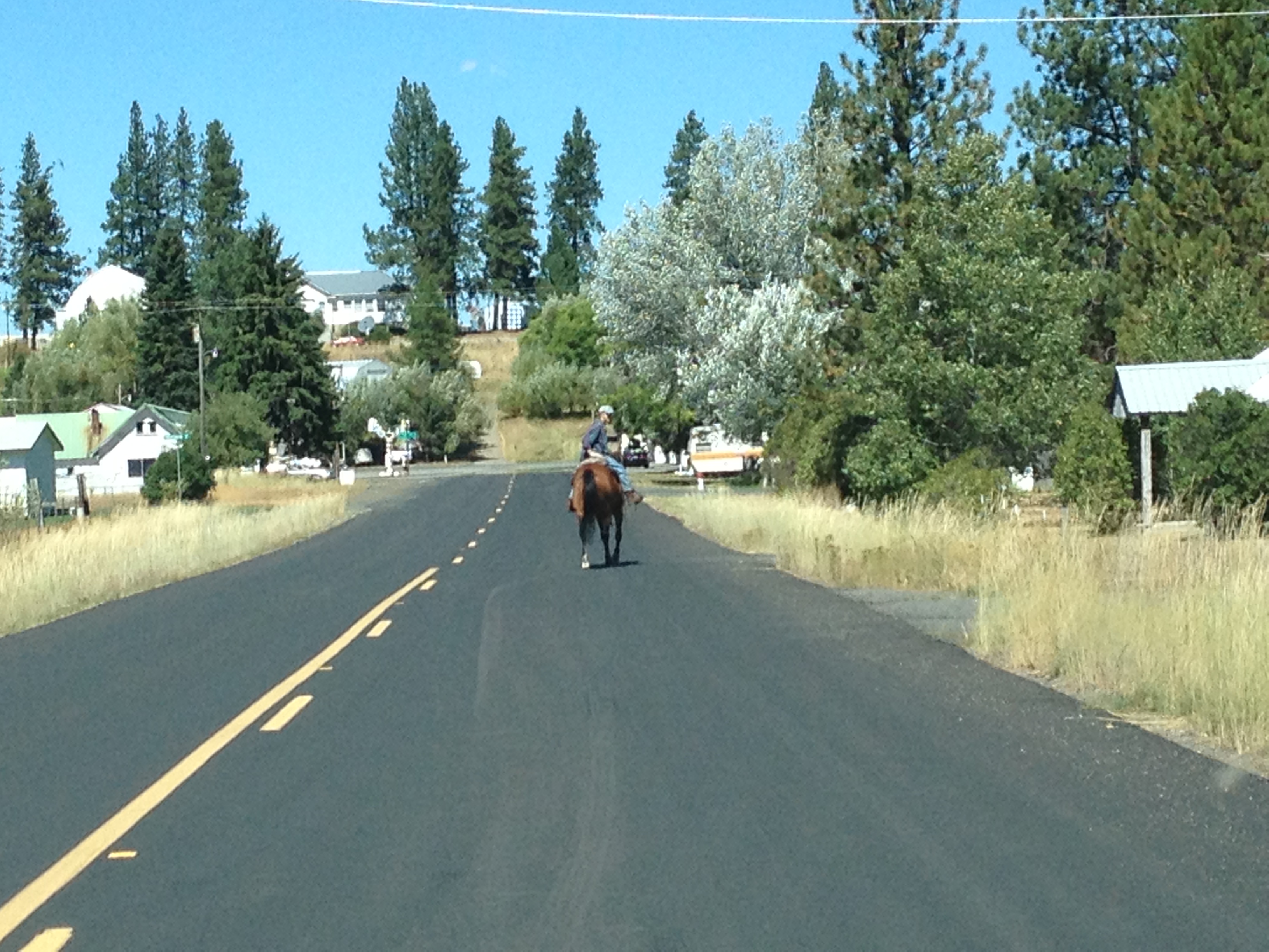
Ukiah Horse

Twice on the outskirts I had to navigate folks on horseback…but that is the way things are done in Ukiah!

Continuing on, through forest / ranch lands…and river valleys, and past vast horizon-to-horizon wind farms, I found the Columbia Gorge.

Wind Farm PanoramaIt seems from these vantage points, green energy is going limitless!

Only I can hope. Till next time!


xxx


Oregon’s Gold Rush Region! Sumpter, Oregon and Granite, Oregon

6 09 2013

Route MapMy interest on this trip was focused on the areas around the North Fork John Day River Wilderness Area. I’d be driving Oregon’s Route 7, Route 73, Route 20 and Route 52. Today, I’d pass through Prairie City – on state highway 26, on my way to Sumpter, Oregon. This is 100% marked as scenic on the maps!

I’d be camping at Anthony Lake, though I didn’t know it when I began. I will tell you the drive along Oregon’s Highway 26, the Journey Thru Time Oregon Scenic Byway, is serene and calming. It wends its way through ranches and farms and small towns like Mitchell and Dayville, with less than 250 population. Absolutely nobody is in a rush here.

A few dozen miles east lies Prairie City. They’re making an effort to refresh main street here, and it looks pretty. I fill the tank with gas, and here they still clean your windshield! Then Oregon Route 7 intersects, and I’m on my way up to the Elkhorn Mountains, climbing all the way.

This is GOLD RUSH territory! In 1883 Sumpter was founded. By 1897 a railway reached the area, and the population grew to 2,000 as gold mines and claims proliferated. There were 12 miles of underground tunnels. Even today, I saw staked out gold mining claims!

Fort SumpterThese days Sumpter is preserved as a tourist attraction of Gold Rush history. Much of it has been restored to look as it was. I even saw a fort. I wondered if that fort was supposed to look like the Civil War Fort Sumpter? To me, it looked like it was right out of the 1960s TV series “F-Troop.”

Two of Sumpter’s main attractions are the Sumpter Valley Railway and Sumpter Valley Dredge. The railway, opening in 1890, was built to haul lumber 22 miles to Baker City. Within two years it was hauling passengers and freight. Today, it is a 6-mile narrow gauge tourist ride.

The Sumpter Valley Dredge is a monument to capitalism and 19th century technology. These 4-stories-tall dredges floated in ponds, and as they dug, the ponds moved with them. They consisted of conveyor belt of buckets to dig earth and carry inside for processing, the internal processing machinery, and another conveyor out back to dump out the waste. There were three of them in the valley. Ironically even though they only employed three workers each, they ended their machine-lives $100,000 in debt. Sumpter Dredge

Climbing out of Sumpter, the road switchbacks ever higher. I drive along a high altitude creek lined with mining claims, and with piles of rocks which could only have been left by days-gone-by gold prospectors.

Then I reach Granite, elevation 4,695. Granite’s population is 38. It looks bigger than that. It’s got a “Welcome to Granite” sign over the road. It’s got a fuel depot and a hotel. Still, it has a look and feel of a genuine frontier town. Founded in the 1880’s, granite boasted a population of 86 gold miners by 1940, but in WWII, the government ordered gold mining shut down to make miners dig for “esseFire Crew Signntial war effort” materials. Granite collapsed, and never recovered.

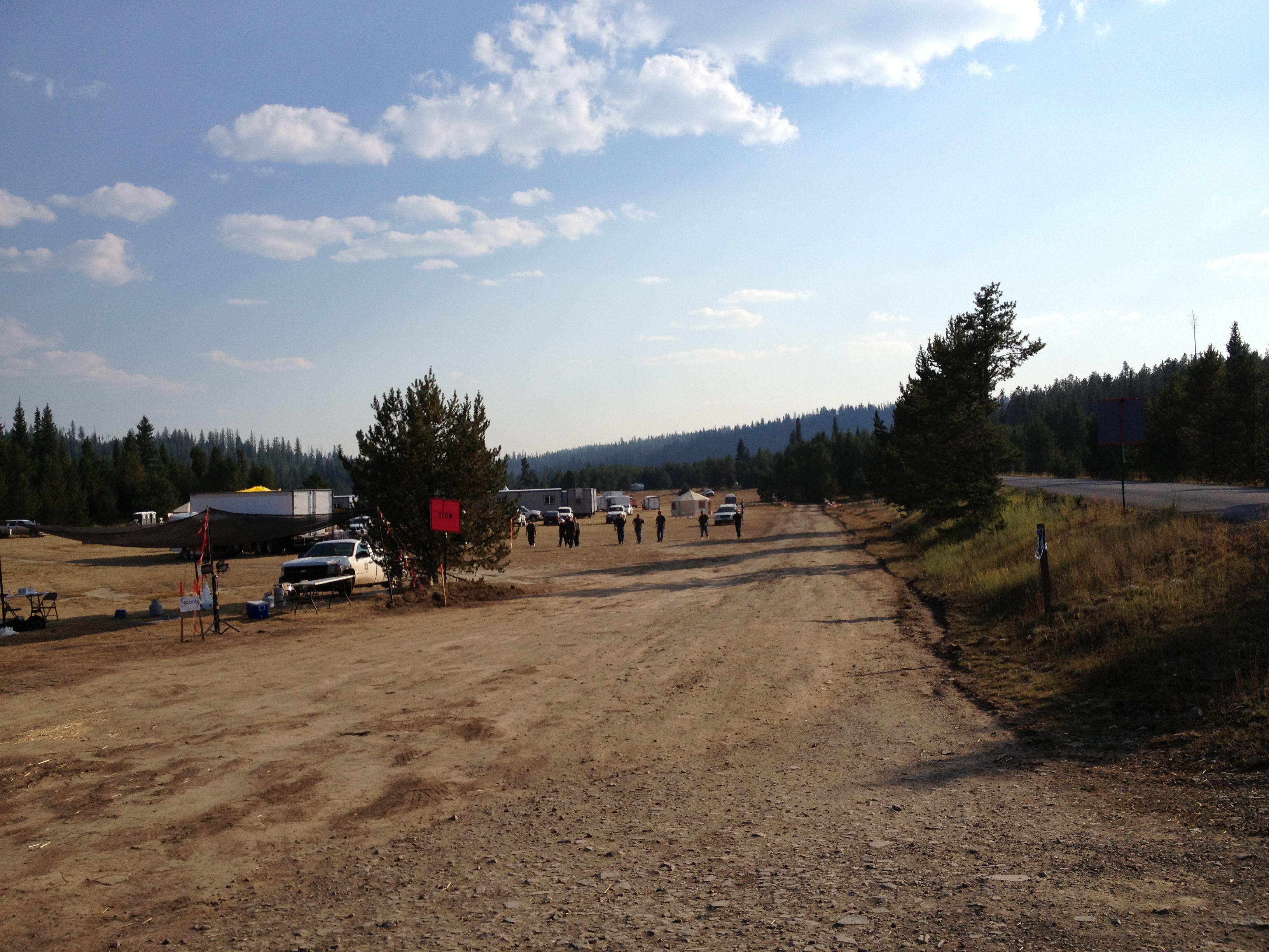
Past Granite, I made up my mind that I would camp at Anthony Lake, some 40 miles distant. I’d be cruising the Elkhorn Oregon Scenic Byway. On my way to that byway I ran across something unsettling – a Forest Fire Camp. During this trip there was a giant fire threatening Yosemite National Park, so forest fires were in the news.

Yet I didn’t know that the Forest Service established camps supporting hundreds of firefighters even before a fire started. Wow. That is serious.

Fire Crew StationThe camp I saw was several acres, high in the mountains, in a big meadow. And as big as it was it was clear that there was room for probably a thousand men up there.


Fire Crew2That made me much more aware of the gravity of the situation.

Beyond the Fire Camp, I ran into something I came out here for. It is the trailhead for the backpacking trail on the North Fork of the John Day River. I had heard about this many years before and now I was here. Too bad I am injured now, and can’t do it. But I will be back.

NF John Day SignIt’s very very pretty up here, and there are just not a lot of people to bother you. That is the beauty!

I decide to push east and camp at Anthony Lake. I have been there to ski in the winter, but never seen it without snow. I just have to check it out. On the way I reach a high point in the Elkhorn Moountains, about 7,250ft.Elkhorns 7250

The view goes on forever. It seems a high plateau goes on from here and one could backpack quite a ways.

Then I descend down into the Anthony Lakes area.

The lake is much smaller than I remembered, as I had cross country skied around it two times in the past.

Anthony Lake PanoramaI had imagined it would have campsites on it. But nope. The campground is to one side, and it has day use areas on the other. There are walk-in sites to another side.

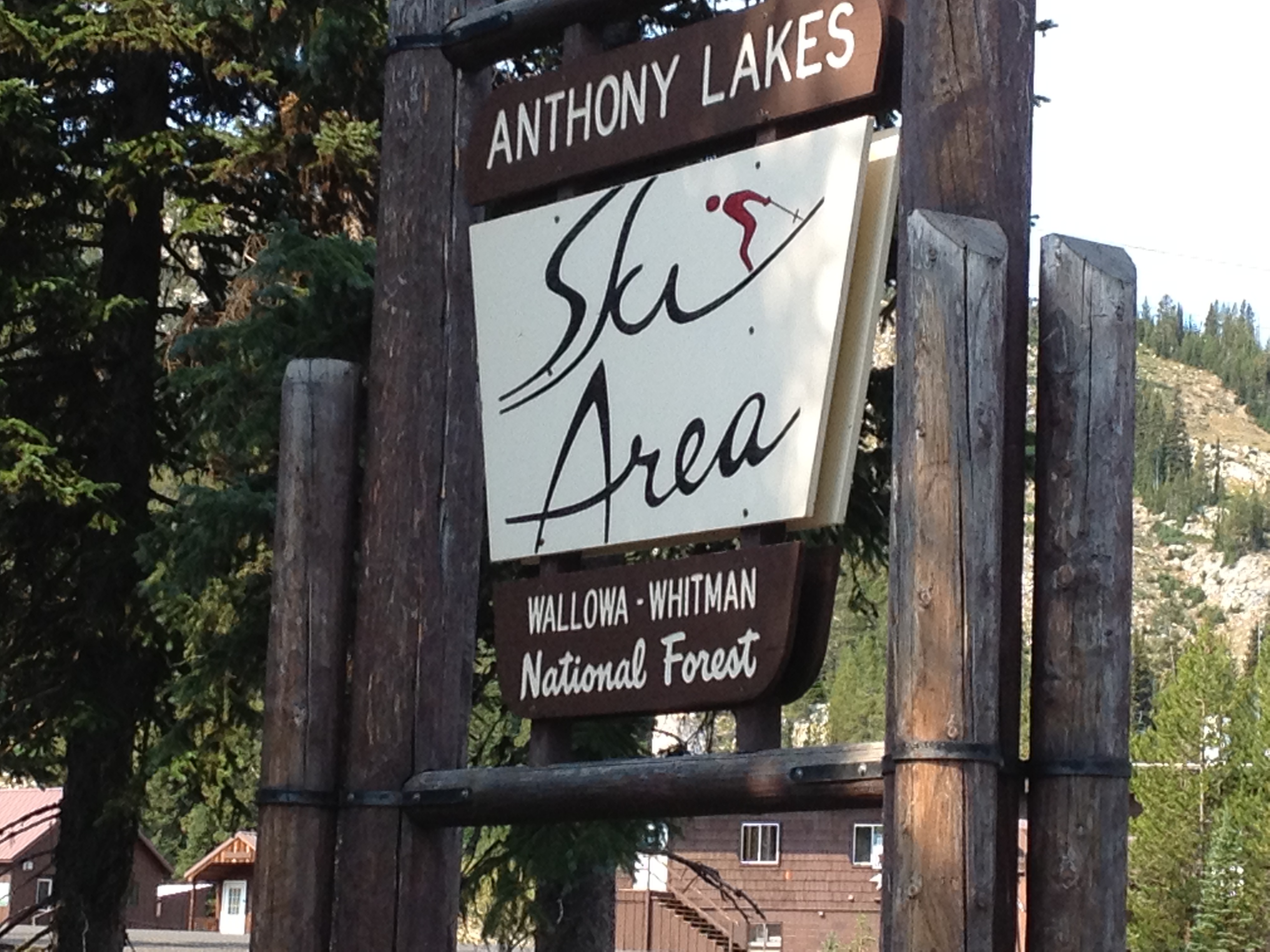
I also paid a visit to Anthony Lakes Ski Area.Anthony Lakes Sign


Without snow, it looks so different. I quickly realized I could actually drive around the lodge and onto some of the lower slopes I had skied!

This was pure devilish fun! Well, with that bucket list item checked off, I returned to the campground and made my meal. I grilled a pork chop, made mashed potatoes, had an awesome campfire, and salad. Then, off to sleep.

I had hoped to see a million stars – but that was not to be. The smoke from the Yosemite fire partially obscured a picture perfect view. Next time I guess!


xx


Oregon’s Ochoco Mountains and John Day River Picture Gorge: Journey Thru Time Oregon Scenic Byway

30 08 2013
Journey Thru Time Car

Uh Oh! Am I going back in time?

Planning my trip was a bit of an effort. The route I wanted to see in inner NE Oregon wasn’t all that clear – I had no less than four maps and guides. Some showed route numbers, and some just gray lines on the map. Others showed possible ghost towns, like “Greenhorn,” “Granite,” “Sumpter,” or “Susanville.”  And others still showed tent icons where one might camp along the way. So, I pieced together a route from all these sources. Looking at it in total, I decided the most rewarding way to head out there was to use Oregon’s highway 26. That would take me past Mount Hood, into Central Oregon, through Prineville, and up and into the Ochoco Mountains.

From there, the road would meander along the John Day River and the Journey Thru Time Oregon Scenic Byway. What better way to get to inner NE Oregon? The other way would take me via I-84 which I have seen so many times. Highway 26 meanders through farms, ranches, and small towns such as Mitchell, Dayville and Prairie City, all the way to its connection with the Elkhorn Oregon Scenic Byway.

I’d need to get an early start. So the night before, I packed the 2013 Ford Escape SE. The weather forecast looked great. I would be on the road by 8:00 a.m. And what a day it was. Sunny and bright. I’d just had the car’s first oil change, so it was ready. Packed up, iPhone 4S plugged in with 1,840 songs, ready to go!  No kayaking this trip so I removed the roof rack to get max mileage. I’ll have grilled pork chops tonight with mashed potatoes and salad. But I dunno where I’ll be camping. Just figure it out. See how it goes.

On my way. Up and over the Oregon Cascades, through Blue Box Pass, about 4,400ft. Then into the Central Oregon Plateau past Madras. From here, I can see Mount Bachelor (9,068 ft), the Three Sisters (10,358 ft),  Broken Top, Mount Washington (7,800 ft) Three Fingered Jack, Mount Jefferson (10,450 ft) Olallie Butte, Mount Hood (11,241 ft) and even Mount Adams (12,280 ft)!

I climb the Ochocos. These are high dry mountains. It’s pretty up here. Ponderosa pines are everywhere.

OchocoDescending toward the John Day River Valley, the view is unlimited, the sky crystal clear.

The road eventually drops into a crack in the earth – the Picture Gorge. In the Picture Gorge, the John Day River has followed a fault line for millions of years. That is right.

And it has flowed here for so long that it is older than the mountains themselves. When the flood basalts erupted and flowed all over eastern Oregon millions of years ago, the John Day River kept on cutting through on its way to the Columbia. Thousands of feet of basalt layer caked one upon another but the John Day continued cutting.

Today, the John Day river flows north right through the ascending basalt layers, even as the highway descends in the opposite direction. There are few places on Planet Earth where a river seems to flow INTO a mountain, rather than out of it. This is one such place. I saw another in New Zealand, when I was there in January 2013.

Not long after the Picture Gorge, highway 26 opens up into a beautiful valley filled with farms and ranches.

It is here one finds the entrance to the John Day Fossil Beds National Monument and Oregon’s Painted Hills. I’m not here to see these treasures, my quarry lies beyond.

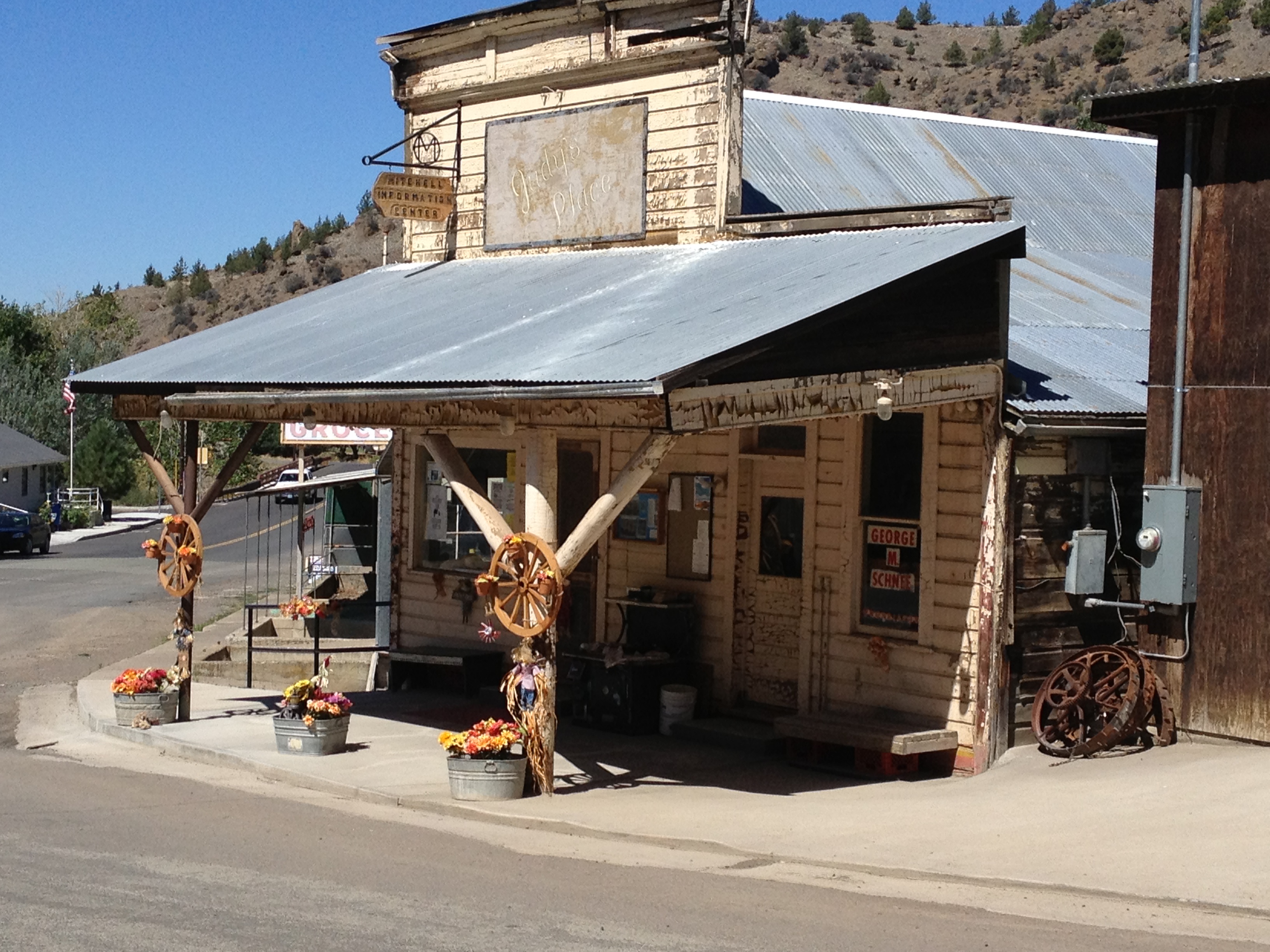
But I am enjoying the view, and by noon getting hungry. The town of Mitchell comes within striking distance, so I decide to Stop in Mitchell, Oregon and grab a bite for lunch. Mitchell1

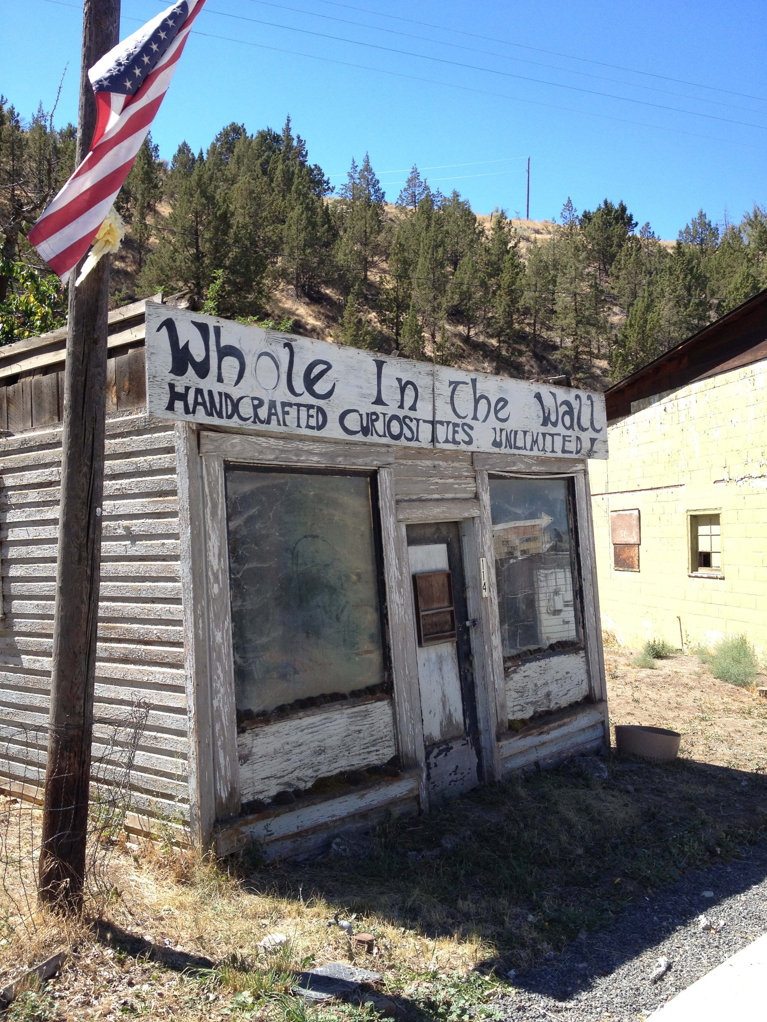
Like a lot of eastern Oregon towns, Mitchell has seen better days. Yet, it has enough character to hold up all its own. Townsfolk lazily walk the street, stopping to seek shelter and converse under a shady porch or tree.

Mitchell2Nobody is in a hurry in Mitchell!

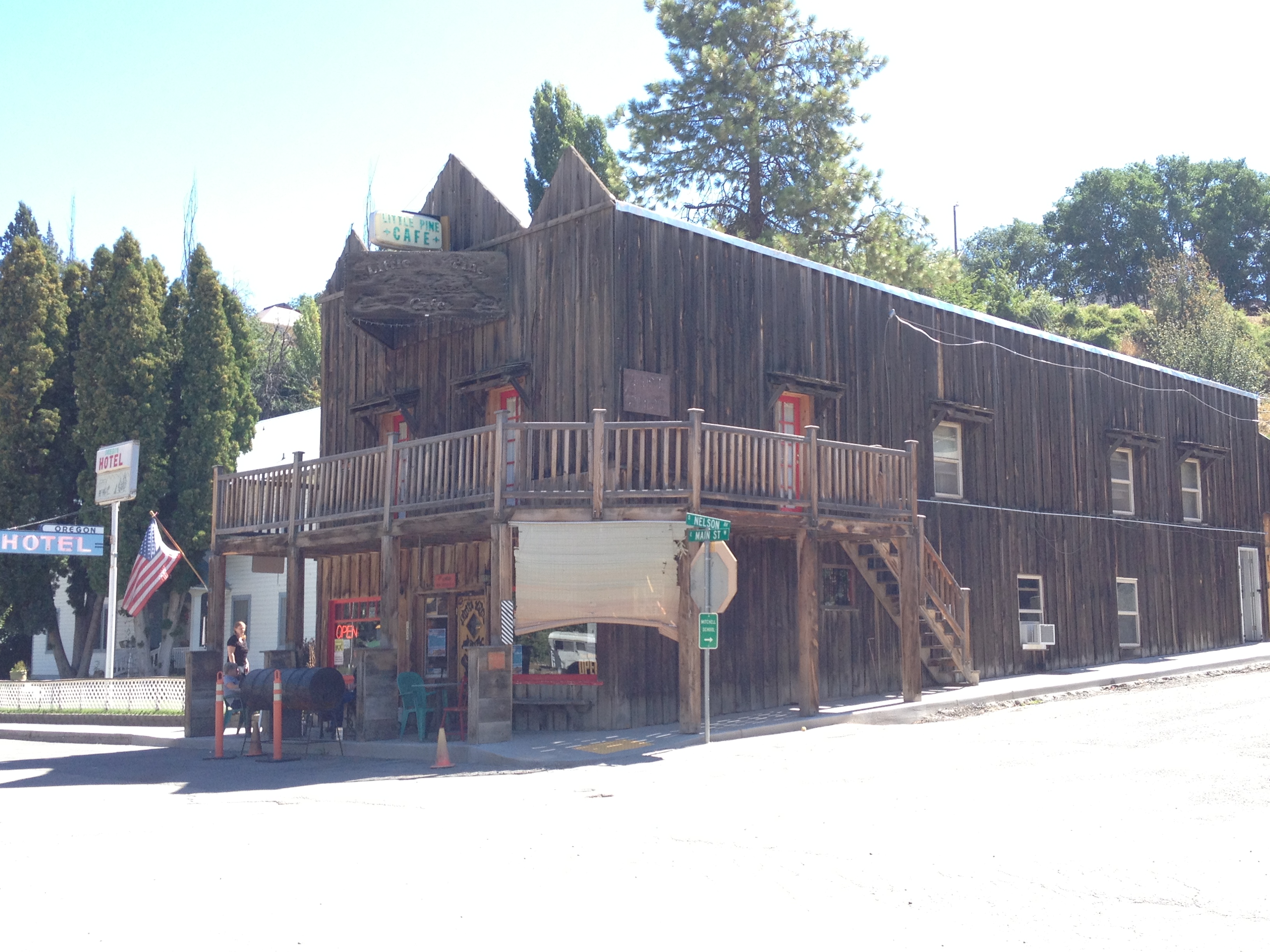
My lunch spot today is to be the Little Pine Cafe, right on main street.

Its customers this lunch are myself, a family from Portland, and a mother with toddler. Mom and toddler regularly go behind the counter to pick up condiments or change the station playing on cable TV.Mitchell3

I pick the Mushroom Swiss burger and a side of macaroni & cheese. Turns out to be fine and dandy!

Adorning the walls are pictures of John Wayne, Clint Eastwood, Gene Autry, plus locals over the years. There are a lot of dollar bills with various scribbles thumb-tacked to the walls. One says, “Brought my boyfriend from CA up here. He says, this explains a lot!”

I can only imagine. I depart feeling satisfied, planning to return on my next pass through.

Today’s drive will take me through the towns of John Day, Prairie City, and into the Elkhorns, into Sumpter and Granite.

Check back on the next blog post for Elkhorn Mountain trip journal entries!


A Scenic Road Trip through NE Oregon – Journey Thru Time Oregon Scenic Byway, Elkhorn Oregon Scenic Byway, and Blue Mountain Oregon Scenic Byway

30 08 2013

Journey Thru Time BywayFor years, inner NE Oregon has been on my bucket list! I have seen the areas around it, but never been in the thick of it. I have been to Halfway, Oregon. I have been to Hells Canyon. I have hiked the Wallowa Mountains. I have backpacked the Strawberry Mountain Wilderness. Three of Oregon’s Scenic Byways lie there: Journey Thru Time Oregon Scenic Byway, Elkhorn Oregon Scenic Byway, and Blue Mountain Oregon Scenic Byway.

I have always been curious about the less renowned Blue Mountains, and the Elkhorn Mountains. The Central Cascades and Wallowas get all the attention. In the Blue Mountains and Elkhorn Mountains lie the headwaters of the John Day River – the North Fork and Middle Fork.

Elkhorn Byway

And 19th Century history lies here. Gold Rush ghost towns, abandoned mines, mine tailings left behind by Chinese prospectors.


Blue Mtn Byway

The John Day River cuts through a swath this region – made famous by the John Day Fossil Beds, where huge discoveries of Ice Age fossils were made. It meanders lazily in the valley underneath the Strawberry Mountains, where cowboys tend cattle and farmers raise grain. In the Elkhorn Mountains, the road passes gold mines before climbing to over 7,300 ft. then descending to the jewel of Anthony Lake.

Oregon’s Blue Mountains are high altitude rolling hills and vast meadows with limitless views of the Columbia Plateau and John Day River. There, one can simply camp on a horizon-to-horizon meadow, with not a care about neighbors whatsoever

This area is full of beauty and history. But not crowds. By comparison, Central Oregon seems downright urban! It has its own beauty, which is not overwhelmed with volcanoes dominating the view. My next few blogs will cover this beautiful, often overlooked, region.


A Visit with my Nephew Finny and His Son Jackson Pitches Like Cy Young!

26 06 2013

IMG_0515 I was really looking forward to visiting with Finny and especially watching Jackson play baseball! This was gonna be priceless! First, we took the commuter train to see Finny’s x-wife Catherine where we could all warm up Jackson and then take him to the game.

It was fantastic to see Catherine. She’s doing very well, and it looks like Jackson’s doing great in his Tuckahoe, NY home.

IMG_0499

Catherine is looking good!

This was going to be a big day out on the baseball field for Jackson. He’d pitch an inning or two. And, play some outfield perhaps. So Finny and I set about getting Jackson warmed up for the game.

We did a lot of fielding practice, and some pitching practice. I was surprised how good Jackson was at pitching once he warmed up. Then, when he began to throw a bit wild, I knew it was time to stop. I didn’t want to overdo it!

Next we did batting practice. My how the little guy takes to hitting that ball! Such fun!

IMG_0503Soon, it was time to head to the game. It was a much more “professional” affair than when I was a kid. The teams had semi professional uniforms!

IMG_0505I bet the kids LOVED that. The parents, on the other hand, were so nervous and hopeful that their kids would perform. There was a lot more pressure on them than their children! During some plays, the parents would hide their eyes.

Finally it was time for Jackson to pitch. He managed to give up a walk and a hit which got him into a bases-loaded situation. Parents were covering eyes again. But somehow Jackson managed to dust himself off and pull it together! He struck out the next batter. And then the next and the next! He struck out the side! WOW!IMG_0500

Practice included batting practice!

What a day. Nothing like being with family for a weekend!

IMG_0512

Myself and Finny at the ball park!

I think I will be coming back to the Bronx to visit Finny again!

I also loved the Woodlawn, Bronx, neighborhood. I found a bakery/coffee shop my first morning. Nothing like Portlandia, no, this one is right out of classic NY area lore.

No espresso served, not a hipster to be seen. Oh no. But it is a multi racial, multi class customer base! I saw cops. Yankee caps. I saw parks department workers. I saw lawyers, stock brokers, retirees, blue collar and white collar workers. Just get your coffee and grab that pastry and off they go! And like the show Cheers, everyone knows each other. Super friendly, too. So in the grit of the Bronx, we’ve got warm human souls everywhere.

This area is absolutely densely dominated by Irish pubs! I couldn’t help but ponder how so many can survive in close proximity to one another.

IMG_0498

IMG_0497

Just in case you need help?

Just in case you need help?


A Visit Home: New York, NY!

25 06 2013
IMG_0494

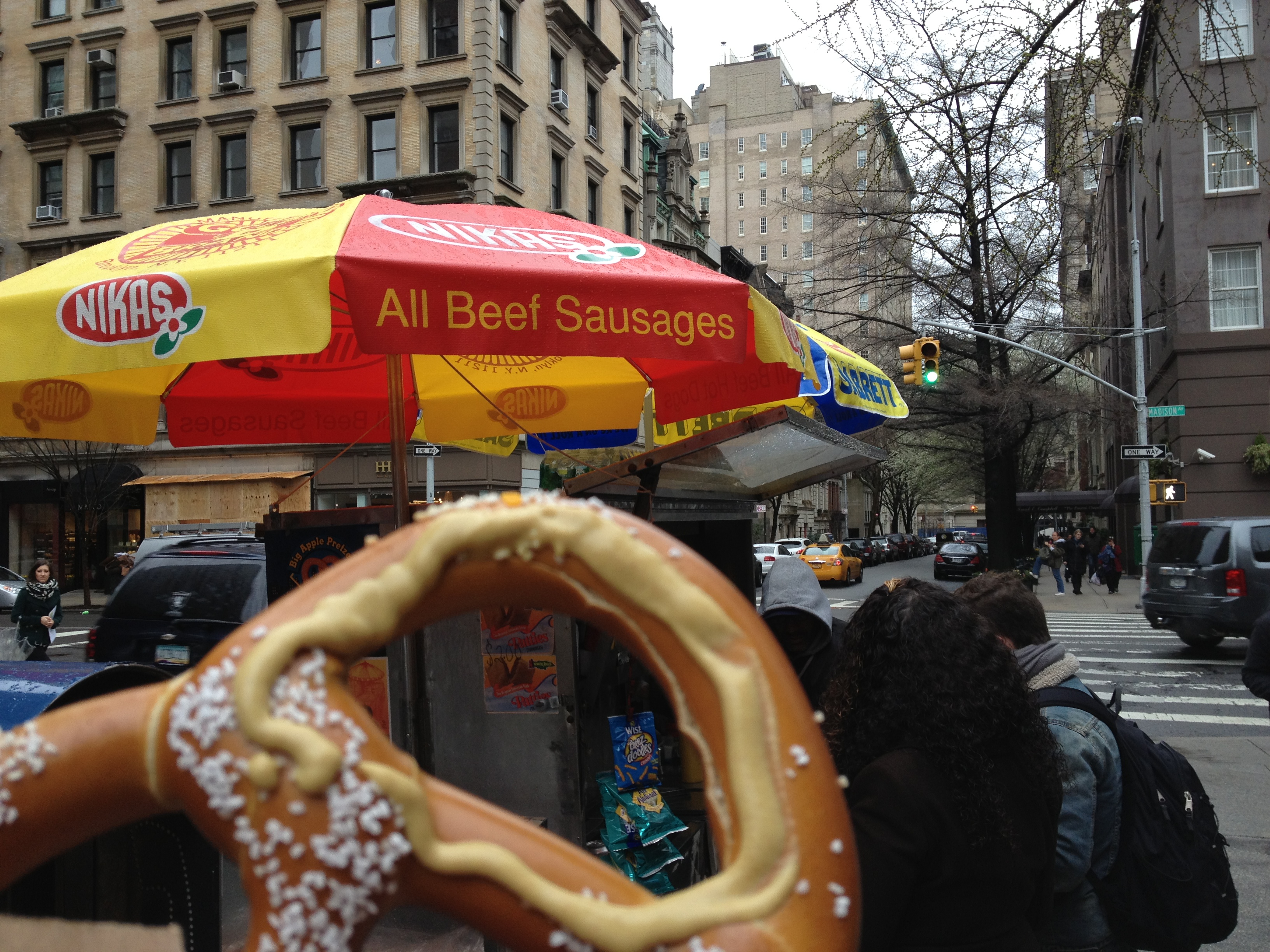
Sabretts and Kosher Salted Pretzels = NYC

You probably don’t know this, but NY is my home town! I have relatives in southern CT, Long Island and Manhattan. Recently I paid a visit to my Finny Akers, my nephew, and his son, Jackson. While there I also spent a day in the City and saw my cousin Liza Greene, and a college buddy, Andy Schattman. A visit to NYC is always worth the trip!

I stayed in The Bronx with Finny – one must take a commuter train into Grand Central Terminal, and from there, you can walk about the City or grab the subway to zip to any destination. Wonderful!

Commuter Rail Cutie

All Aboard! Cute conductor!

It wasn’t long before I arrived at Grand Central. I planned to have lunch with Liza but I arrived early. So, I spent time walking about Manhattan. It was a bit windy and rainy! In rainy Portland, Oregon, where I live, people walk the streets clad in Gore-Tex. But in NYC, umbrellas rule!

IMG_0475

Umbrellas everywhere, crowing the areas above your head!

NYC is the capital of making money. Rain is just such an opportunity and I saw several folks hawking cheap umbrellas, and passing pedestrians were snapping them up.

The wind was taking every opportunity to destroy any unsuspecting umbrella. Quite a few caught gusts and were wrecked.

IMG_0479I spent about an hour walking around Midtown Manhattan. Even on a rainy day people watching is entertaining in New York City.

I was to meet Liza back near Grand Central for lunch so I returned to that area.

IMG_0483

Liza and me!

It was terrific to see Liza. We talked so much that it was hard to even order food! Everything from Oregon, to Hurricane Sandy, to her daughter, to my brother John.

Do you use Facebook? On this trip the social media website came into play as friends and family learned I was coming to NY! So, with a quick click of the mouse and a text message and a subway ride to lower Manhattan, I was able to connect with longtime college buddy and ski friend Andrew Schattman! It was great to see him! Funny how quickly something like that can happen.

We were college buddies and later took shares in a ski house in Killington, VT and also skied out in Colorado.

IMG_0486

Me and Andy!

Then with some more time I headed uptown to the Metropolitan Museum of Art.

I wanted to see some of the Egyptian collection and my favorites – the Impressionists.

I was not disappointed. In fact, I was completely overwhelmed. I had not been back there in 20 years, and its collection is absolutely MASSIVE and beautifully presented.

Block-long galleries of Roman and Greek sculpture and statues, as well as Mesopotamian, American Indian, Eurpoean paintings, Chinese antiquities, it’s absolutely WONDERFUL and ENDLESS. You can spend days in there!

IMG_0491

There is Renoir, Manet, Monet, Seurat, Van Gogh, Degas, Cassatt, Pissarro, Gauguin – they’re all there! My eyes teared as I witnessed some of my favorites.IMG_0489

IMG_0492


IMG_0493