Sparks Lake and Hosmer Lake, Oregon

1 08 2013

IMG_0659Just returned from a kayak camping trip to Sparks Lake and Hosmer Lake, Oregon with my friends Jessie and Laura! These two lakes are located right on the Cascade Lakes Scenic Byway in Bend, Oregon. Wow! These are two of the most scenic lakes in the Pacific NW.

Bathed in fantastic clear blue skies and looked upon by 10,450 ft South Sister, Broken Top and Mount Bachelor, these crown jewels are worth paddling. Everyone visiting Oregon ought to come and ply these waters.

On the water you’ve got a 200-degree view of glaciated peaks above. The lakes are easy to explore, their waters typically calm and not too deep.

Sparks Lake and Hosmer Lake have different personalities. Sparks Lake is dominated by flows of a’a lava flows, so sharp they pierced one of my dry bags. These flows make for isolated channels and difficult boat landings. Yet, we found a beautiful camping site with a jaw-dropping view of South Sister!

Breakfast!

Breakfast!

Out on the lake I’m overwhelmed with the views before me. In every direction there is an otherworldly view – each one magnificent all in of itself, yet here there are THREE!

IMG_0640I feel justifiably spoiled.

We have perfect weather, impeccable views, and I have two women with me.

For dinner, we have fresh shrimp and veggie skewers, plus rice. After a laborious preparation involving ginger, garlic etc. the meal perks my taste buds!

IMG_0633

Mount Bachelor provides a backdrop…

Evening is quiet. I have to disclose Sparks Lake is a tourist hot spot. During the day kayaks, canoes, inflatable rafts, everything is out enjoying the view. But we put out on the lake with our camping gear and found a quiet spot, so once dusk came all became quiet. One bright light in the SW sky we determined was Saturn.

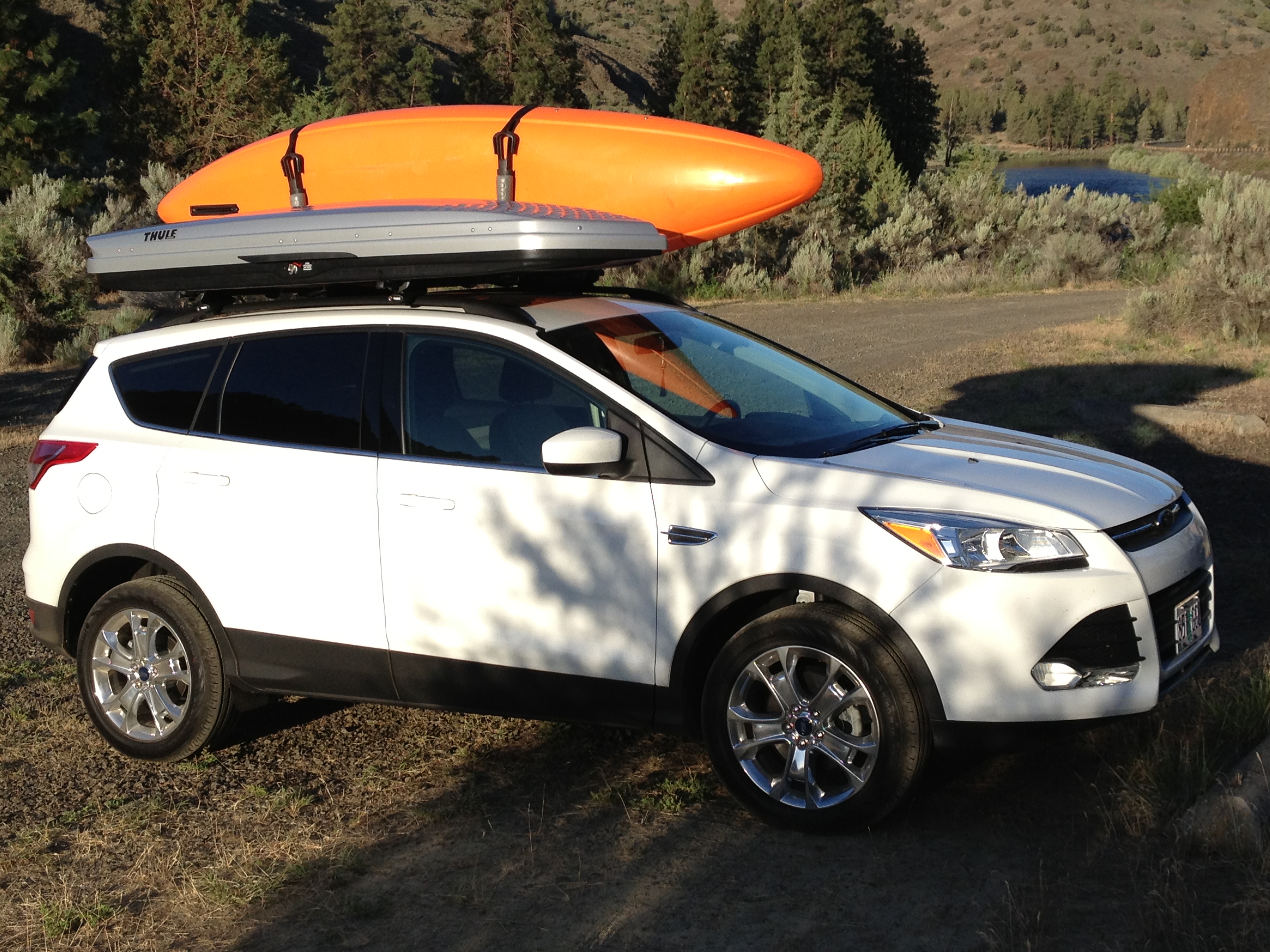
After dawn and a breakfast of oats, nuts and fruit, washed down with Sumatran coffee, we packed up the kayaks on the 2013 Ford Escape and headed 20 minutes down the Cascades Lakes Scenic Byway to Hosmer Lake.

Hosmer Lake is characterized by lakelets connected by lillypad clusters, rushes, and channels filled with rainbow and brook trout that would make a fly fisherman blush. It’s a different vibe than Sparks Lake. It’s just as busy though. So, on the channels connecting the lakelets, you have a parade of stand-up paddleboards, kayaks, canoes, etc., and oar powered fishing boats. Everyone is looking down at the fish! Although the whole time, you are surrounded by the mountains!

IMG_0646 It was another impeccable day, with different scenery as a backdrop.

IMG_0645With mountains above, lillies on the water’s surface, and beautiful trout below, it’s hard to beat Hosmer Lake.

IMG_0652Parts of the lake feature Caribbean Blue waters where your boat’s shadow can be seen underneath!

We follow a channel up one end of the lake in search of a waterfall everyone told us about. The water temperature drops precipitously, an indicator we’ve found the source. The width of paddle-able water narrows to two yards – in some places, two feet. Then we glimpse some beached kayaks.

Here, we haul out and make lunch. Just above, there is a to-die-for waterfall beautiful enough to make Laura cry!

That is enough for me. Such a perfect day. We head back to our camp at Sparks Lake for another fabulous meal. Tomorrow we head home, full of memories.


John Day River Oregon: A Day Running the River!

9 07 2013

IMG_0587Fraternity brother Tully Alford and I spend some “bro time” every summer camping. This year, for our first camp-out we returned to the John Day River. It’s in dry central north Oregon, an area way below the radar of many outdoor enthusiasts, yet if offers tremendous opportunities for those venturing there! Imagine floating down a canyon-walled river. With every turn, a new world unfolds. Not a house or road to be seen. Eagles and hawks float above, bass swim below. Yet only two and a half hours from Portland!

This year we decided to float the river – camping and the using a river shuttle service to pick us up and deliver us to our car at the end of the run. The John Day River is famous for long, flat stretches of running river with rapids connecting them. And for beautiful canyons with layered rocks overhead.

IMG_0579We packed up my new 2013 Ford Escape with Jackson Kayaks Rogue 9 and Rogue 10 kayaks. These kayaks are perfect for this trip, because they are good for the whitewater stretches, but also have a rear hatch – good for storing gear and food – and a skeg for the flat sections so they can be paddled straight.

IMG_0582

Tully getting ready at the put in!

As Tully had no experience in whitewater I gave him a tutorial on entering and exiting the main current into eddies. And, I explained that in rapids there are these things called “holes,” though I couldn’t really explain what they do. So you know, a hole is a backwash behind a boulder. If your boat gets stuck in one, it can be difficult to get out. Your boat gets “sucked in” by the hole.

Running the John Day River is characterized by long stretches of flat water separated by rapids. The plan was for me to run the rapid ahead and Tully follow me through. This worked great until the very end of the day.

I was very impressed! Tully made it through everything and found it fun!

IMG_0586

Tully chills out after a rapid…

Tully began the day in a wetsuit but as the temperature rose, he felt heat-distressed and at lunch took it off. The Jackson Rogue 9’s hatch took the wetsuit with lots of spare room. Lunch was sumptuous. We found a shaded peninsula and made sandwiches of mayonnaise, Dijon mustard, turkey, lettuce, cheddar cheese and tomato. Plus fresh oranges for dessert.IMG_0588

Back on the water. The river and canyons unfolded one after the other. We heard, but could not see, Bighorn Sheep in the hills above. We saw bald eagles. The occasional Smallmouth bass swam below.

The run was from Spray to Service Creek, about 17 river miles. We were told it would take all day. I never believed it, but it was true. We set off at 10:00 a.m. and took out at 4:00 and we were pretty tired. It was a great day. The John Day River took its prize in the last rapid, the hardest of the day. As we approached, I could only see the horizon line and nothing of the features below. We had agreed we did not want to bother scouting, because none of the other rapids were all that hard. As first paddler I went in. Immediately I noticed three holes and lined up my kayak to pass by each one. However, on the second hole, there turned out to be another right behind it, invisible from above. After scooting by the 2nd hole, I darted across and paddled hard past the surprise hole. Tully was not able to do that, and got stuck in that hole. I did not know this until I had made it completely past the rapid and into the pool beyond. Then I looked back and saw carnage! Tully holding on to his boat, but the paddle, spray skirt, his glasses, etc. were floating by and sinking. He looked pretty shaken up and I towed his boat to the shore and he grabbed on.

We kayaked the last stretch and hauled out. No matter, we had a GREAT day on the John Day River!

The evening meal was grilled salmon, salad and mashed potatoes. IMG_0581

IMG_0580IMG_0589


And lots and lots of beer! Tully caps it off with a rendition of The Grateful Dead’s “Ripple.” There’ll be some more campouts coming this summer!


Mount Rainier National Park

2 11 2012

Mount Rainier from a meadow above Sunrise

Summer of 2012 featured a record 80+ days where it only rained one hour during that time! With the end in sight, and the inevitable rain switch about to be turned on, my friend Tully and I headed to Mount Rainier National Park for a last campout!

It was beautiful weather. There were wildfires nearby, and before we arrived, smoke obscured views of 14,410 ft Mount Rainier.

For us, the wind blew the smoke away. We were treated to crystal clear views.

We camped at the White River Campground. It’s on the eastern side of the park, higher elevation.


We figured we’d have the park to ourselves, since it was after Labor Day. But that was not the case and the campground had lots of guests in its not-so-spacious campsites. This was because the wildfires closed many nearby outdoor destinations, sending people here.

Sausages brown ‘n serve!

We planned to hike from the Sunrise area. This is a higher elevation staging area on the eastern side. It has a lot of trails. Some of the trails follow ridges with spectacular views in several directions! I could see Mount Adams to the south, and all the way to Mount Baker north. Looking all around I watch to see signs of big fauna – bear, elk, the elusive mountain goat – but see none. We catch sight of gray jays and ravens, as well as various unidentified raptors.

For dinner, we did a stir fry – which consisted of green pepper, carrot, nuts, pineapple, chicken, onion, broccolli, and baby carrots. Scrumptious! Another night we did a skewer meal over rice. Breakfast was pretty traditional – eggs, toast done on the grill, and this time instead of bacon – sausage patties. Sausage patties are a lot easier to clean up than bacon, because they don’t produce much grease! I’ll be cooking more of them in the future!


We also spent some time hiking the area around the Grove of the Patriarchs. It is in the Ohanapecosh area. While the grove’s hike is only 1.3 miles, it’s packed with incredible flora. 1,000 year old Western cedars, Western hemlock and old-growth Douglas fir! Quite a few of them! They’re simply huge compared those typically seen around the Northwest.

The Grove is located on an island in the Ohanapecosh River. It’s a place you can feel the history. These trees were already hundreds of years old when America became a country. They were 200 years old when Columbus landed in the New World!

You walk across a suspension bridge to get there – one at a time.


1,000 year old cedar in the Grove of Patriarchs

By far the best time for experiencing the outdoors in the American Northwest is September – after Labor Day.

After Labor Day, the weather is still dry and warm – summer. But kids are in school and parents home. Hiking trails and camping are generally a lot less busy!

So, if you can, make plans to head into the outdoors in September!


Three Fingered Jack

21 10 2012

One of Central Oregon’s crown jewels is 7,844ft Three Fingered Jack. It is the core of an extinct volcano. Three Fingered Jack lies in between Mt Washington and Mt Jefferson and sits on the Pacific Crest Trail.

Jessie, Joel, Laura and I paid a visit there recently – camping at nearby Metolius River. We arrived mid afternoon Friday and got skunked at our favorite campsite on the peninsula at Allen Springs Campground. Figuring we had the luxury of time to search for a choice spot, we hunted around the local campgrounds. How naive we were! When we circled back one campground after another posted the “FULL” sign! We wound up with the very last site in the valley. No matter we made do and promised to try for a more choice spot that might get vacated in the morning!

Jessie, Joel and Laura by Canyon Creek

Though full the campground’s campers are gregarious but mellow. Nobody has trouble sleeping! Morning finds me fixing traditional bacon, eggs, and home made hash browns. All fueled up we head up to the trailhead at Jack Lake.

The three mile trail winds past a burned out area, then through shaded forest, then into wildflower-packed Canyon Creek Meadows and then into the basin underneath Three Fingered Jack. I’ve backpacked into the area and remember the view from the basin: You look straight up at the internal workings of a volcano! Spectacular.

And, this is not an ultimate challenge hike. It is a big payoff for easy effort hike! While we sweat on the trail, the climb is easy enough that we have no problem holding casual conversation on the way.

For the first three quarters of a mile of the trail passes through what was left after the B and B Complex fire, which burned 91,000 acres in 2003. It is a testimony to the catastrophic effects of climate change. Winters are warmer, allowing insects like the bark beetle to have longer reproductive cycles, leading to a population explosion. Normally lower temperature helps control the breeding season. With more beetles, the trees upon which they feed don’t stand a chance. The beetles feed on wood just below the bark – and when they complete a circle around the tree, the tree becomes “girdled,” and slowly dies. The only defense the tree has is to produce extra sap. In bark beetle-infested forests, mile upon mile of trees stand with the lower bark falling off to the ground, and the trees eventually dry out. They become the perfect fuel waiting for the moment of ignition = a forest fire in waiting.

Then it takes us through a section untouched by fire. It’s as it was. Mountain Douglas Firs and Cedars. Shady. A patch of snow here and there. A pond. No bugs. Then the it opens up into meadows carpeted with withering wildflowers, and the mountain dominates the view ahead.

Our goal is to reach the basin beneath the caldera, where we will take in the view and picnic.

We climb a forested moraine and descend into the basin. Wow! Above our heads lies exposed the plumbing of a volcano. Clearly visible are layers of lava but injected into the layers are volcanic dikes, which are like pipes through which lava flows to the top of a volcano. Cool!

I love this spot!

And all around us a sea of wildflowers.

Here, I glimpse a wildflower I’ve never noticed before, which is a kind of wild petunia. Beautiful!

We pause to drink in the view and warmth.

Laura makes the best picnic of all. Very European with fruit, cheese, and even some wine to accompany!

We love wildflowers. And there are plenty to see! But they won’t last forever.

It won’t be long before they fade and winter returns to these parts.

But for now we are happy to enjoy the moment!


Operation Bullwinkle: To Gibralter Island Camp

5 10 2012

This morning’s breakfast conversation focused on where to camp tonight. We kind of started chronologically backward. To get back to Portland by early evening and make the afternoon ferry on time, we’d have to leave Toquart Bay Campground by 7:00 a.m. the day of departure. So by default we’d have to spend the prior night there. But that day we could spend paddling mostly. So we picked a campsite farthest to the east – Gibralter Island.

We could take a long day paddling today and another long one from Gibralter back to Toquart. After eating we packed up our kayaks again…heavily laden of course. This time it was paddling east, to the head of Effingham, then north past a string of islands…Faber, Onion, Mullins, Keith, and then Jarvis and finally Jacques. There is supposed to be an interesting lagoon inside Jacques one can explore.

On the way we duck in behind some of these islands. Behind Mullens is the best underwater viewing I saw!

There was a quiet area with rocks and kelp. It was maybe 15 or 20 feet deep. More bat stars, sea stars, and even some 15-inch long fish. But the most amazing thing I saw here was the arm of a giant octopus. It was amongst a bed of seaweed atop a rock only two feet down. It was five inches in diameter! But just an arm. What chopped it off? Must have been something big. An orca?

We reach a shortcut into the lagoon at Jacques Island. Because of the low tide the channel is exactly kayak-width wide right now. The tide’s coming in, so we wait. And wouldn’t you know it a group appears on the other side and squeezes through!

Bill knuckle-drags his boat through and so I give it a shot. I feel the dreaded scrape of oyster on kayak but it’s not drastic and I do have a plastic boat. Lisa’s is kevlar so she wants to wait a bit longer.

We explore the lagoon and all of us decide it’s actually NOT that interesting.

Exiting the lagoon we saw the Lady Rose, a little ferry that shuttles kayaks from the mainland out to Sechart Lodge.

The Lady Rose

Gibralter Camp is just fine – and we’re the only ones here – at first.

Then a group of kayakers shows up, led by a couple of guides. One of the guides is a friendly Canadian girl and sure enough her conversation is full of “ey” and stuff. They have salmon for dinner and have lots of leftovers to offer us.

Tonight we play in the phosphorescence at the shore. Anything stirring up the water causes a brilliant effect!

Tomorrow we’ll take our time and head back to Toquart.


Head to Timothy Lake when Website Says “Closed 4 Season”!!

30 09 2011

Yes, my friends! There is gold to be had at the end of September at one of Mt Hood’s most trodden camping spots – Timothy Lake. THE time to go is after Labor Day, when the campgrounds start to close, the weather remains summer like, and it’s nice. This lake is to be avoided in mid-summer as K-Mart campers and RVs with noisy generators are everywhere.

This week I had a couple days off mid-week, and the weather forecast called for 80-degrees and summer up there. I checked the websites and they all reported “closed for the season” for the campgrounds.

I knew one can still camp in the closed campgrounds, but you have to walk your gear in past the gate. Still, I remembered one year I went at precisely when they were supposed to be “closed,” yet one remained open. That turned out to be the case this time! One, only one, campground, called Oak Fork, remained opened. And it only had one other camper!

I foraged for wood left behind by other campers and the effort paid off big time. That, plus setting up my hammock, and the wonderful weather made for a nice time. This treasure trove of wood made for a blazing inferno!

I also tried out my newly purchased Kokatat drysuit. Way freaking cool! It was 100% dry. Soooo much better than the NRS drysuit it replaced. I was really dry when I took it off.

The weather was superb, the stars bright, and what a night it was.

The picnic table, hammock and all the kitchen gear made for a sumtuous chicken sandwich cooked on the grill, plus a nice side salad!

The camp set up. Everything needed!