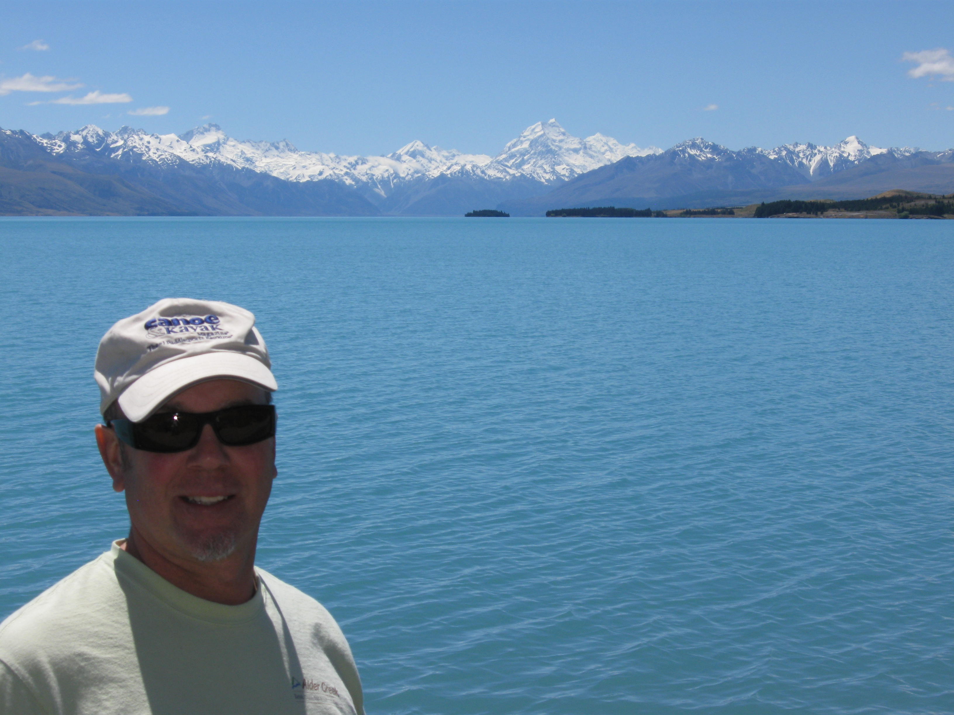
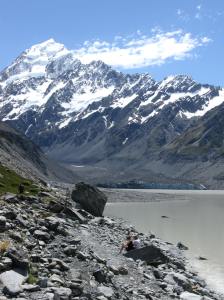
Stupendous view from Lake Pukaki, near Twizel!
Elwin, Angelique and I departed Christchurch for our exploration of New Zealand’s Southern Alps, lakes and fiords. We were looking forward to stunning views, sapphire lakes, hikes, and glaciers. Our first stop would be Twizel, which is the little gateway town for Mount Cook, at 12,316 ft the highest peak in Australasia.
Now, New Zealand is beautiful. You may have heard. But it is the compactness of the country, and variety of climates, that makes it so different than any other in the world. On the road to Twizel we drove through plains, mountain passes, through an infinity of multicolored lupine fields, from the palms of the semi tropical coast to majestic glaciated peaks – in a matter of hours! What you may not know, is that so much of it has been cleared for agriculture. We were surprised that sometimes it seems every scrap of land not part of a reserve seems to be converted to agriculture. Even the forests covering the mountains are often all second generation pines grown for wood production. The Kiwis are acutely aware and have ramped up preservation on land and in coastal marine reserves as well.
We arrive in Twizel. Twizel, population 1,065, is definitely ground zero for Mt. Cook exploration. This town was originally founded entirely as housing for construction workers for the hydroelectric projects on the dams nearby. Today, the remaining houses and “dorms” serve as places for the outdoors crowd. Still small, Twizel has a limited lodging landscape, and I made reservations only a few days ahead. As such I had to make do with a hostel room for all three of us at High Country Lodge & Backpackers, shared unisex bath down the hall. And parking? Outside your window – literally – on the lawn. We did make friends with some other travelers. But, the place was dirty, the beds lumpy, and it was generally noisy both at night and in the morning. If you can imagine beer drinking buddies, showering backpackers, a woman voicing her orgasms behind the wall, and people outside your window unpacking their SUV all at the same time, that describes a night at this place! And at 5:30 a.m.? Cars loading up for a day on Mt Cook, engines running and doors opening and slamming. At least we made do watching “The Lord of the Rings, The Two Towers” during all of this. So, if you plan on staying in Twizel, I recommend reserving your lodgings earlier and don’t stay at the backpackers hostel! You can, however, stay at their “lodge,” and have a real room and small porch / bathroom to yourself – IF you book further ahead.
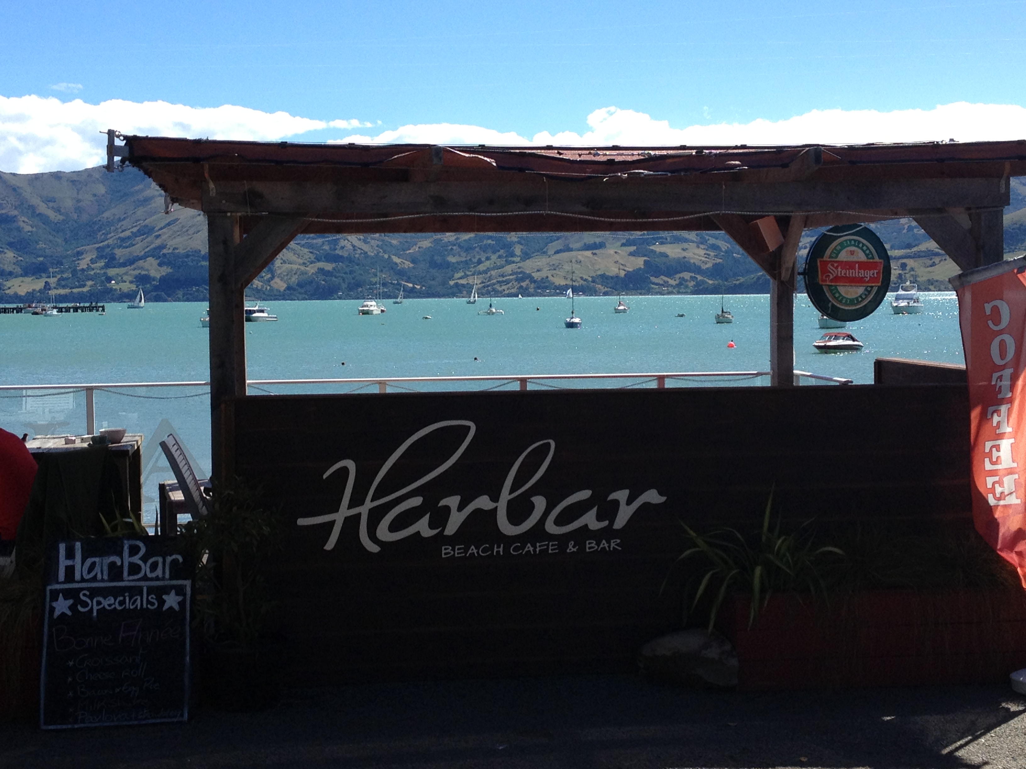
Aside from our lodgings, Twizel is perfectly fine. It has a few restaurants, it’s quiet, there are two grocery stores, it’s walkable, and generally OK.

Left sided driving to Mt Cook…
The plan is to hike some of the valleys near Mt. Cook. Unfortunately Elwin comes down sick, and decides to sleep it off. So, Angelique and I head up in 100% blue bird perfect weather to hike the Hooker Glacier area near Mt Cook, and hopefully the Tasman Glacier, too.
Like the glaciers in Patagonian Argentina we saw last year, these too create miles long sky blue lakes to the east. What we saw in Patagonia, by comparison, is almost unimaginable. Lake Argentina is 1,466 sq km, and Lake Pukaki is 179 sq km. Still, these are impressive-and beautiful.
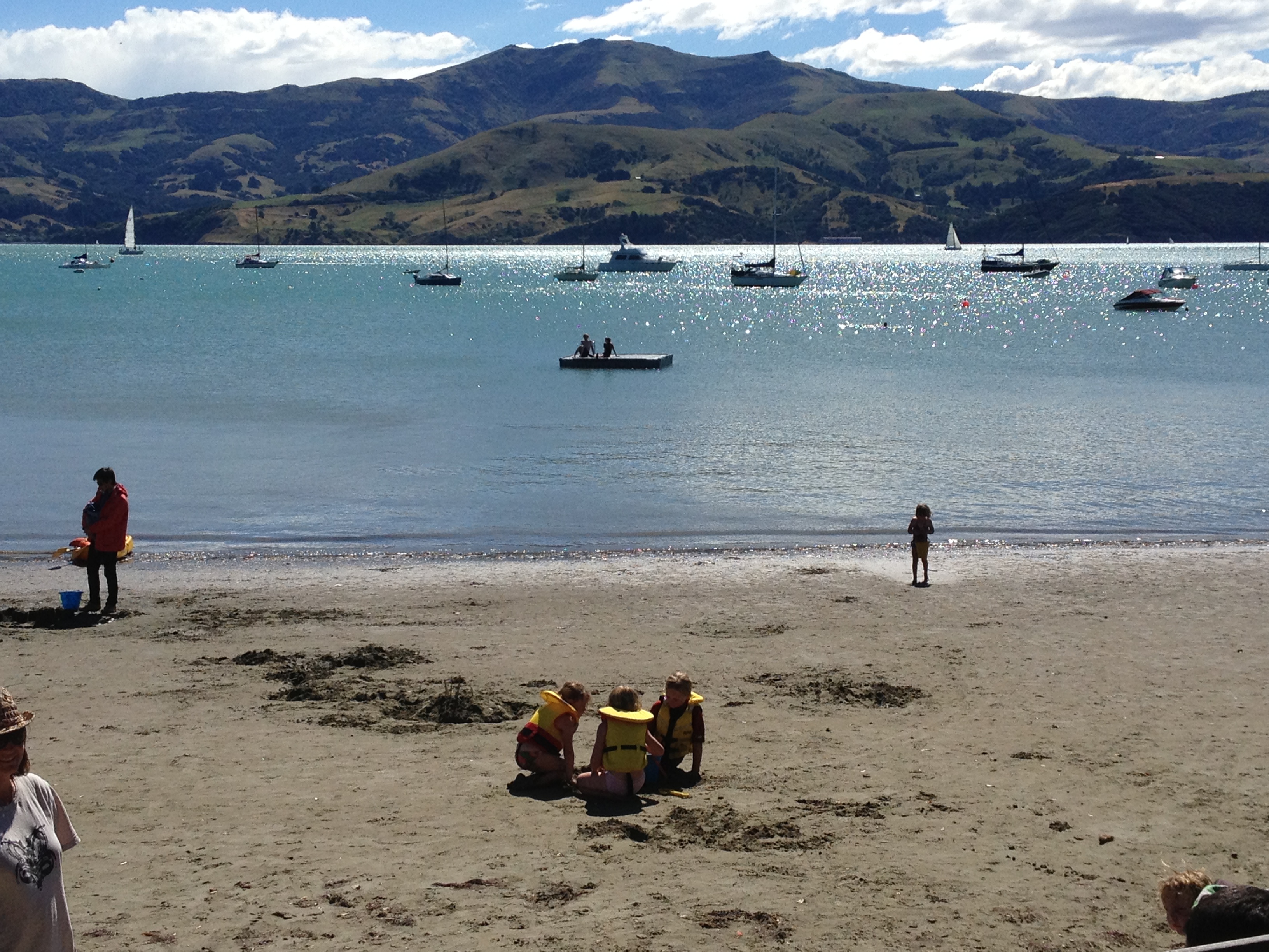
So we head out. The trail to the Hooker Glacier is really close to the tourist center in the valley, including the Hermitage Hotel, so there are lots of folks on the way. But that doesn’t matter. It’s really gorgeous.

It is so pretty. It’s really HOT, and we seek shelter from the sun in a little hut. There are “rivers” literally spouting from the sides of the mountains. That tells me that the rock is porous, allowing underground streams to form from the melt-water from the glaciers above.
We meet lots of Australians – something that would be repeated over and over during my month in New Zealand. And they’d always tell me that, though Australia is beautiful too, it’s so expensive that they fly to New Zealand for their holidays.

Across suspension bridges, up and up Angelique and I go, with the Hooker Glacier the goal. The trail has been re-worked a few times, and there’s an old suspension bridge, plus a to-be suspension bridge we pass as we go.
Down under the area closer to The Hermitage, there is a lake with ice bergs melting from the glaciers. It’s nowhere near the size of the Patagonia lakes – but it’s still cool!

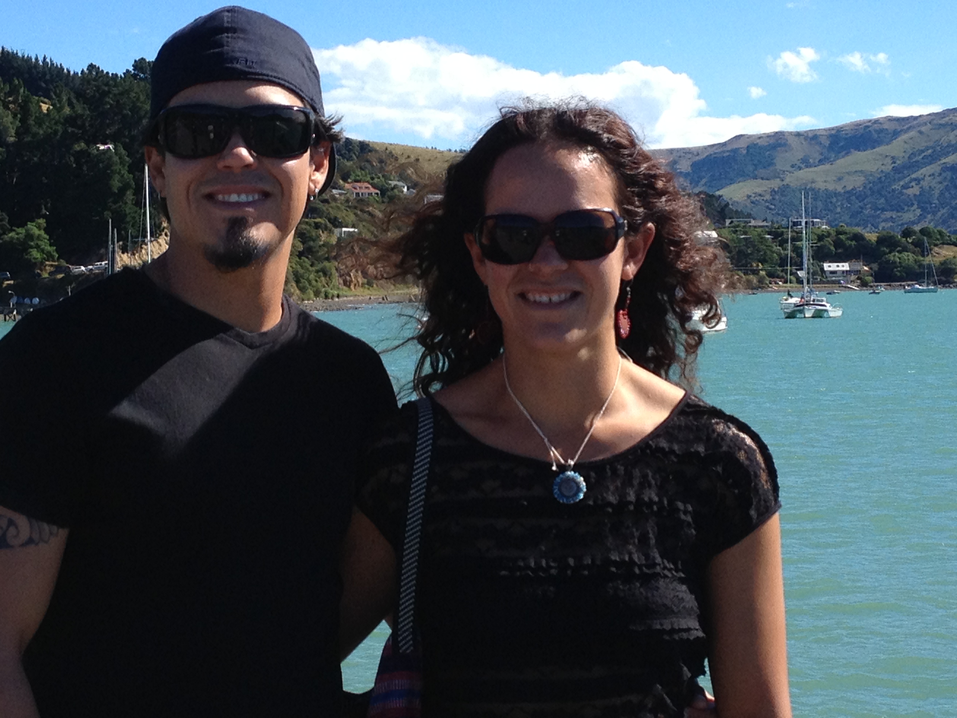
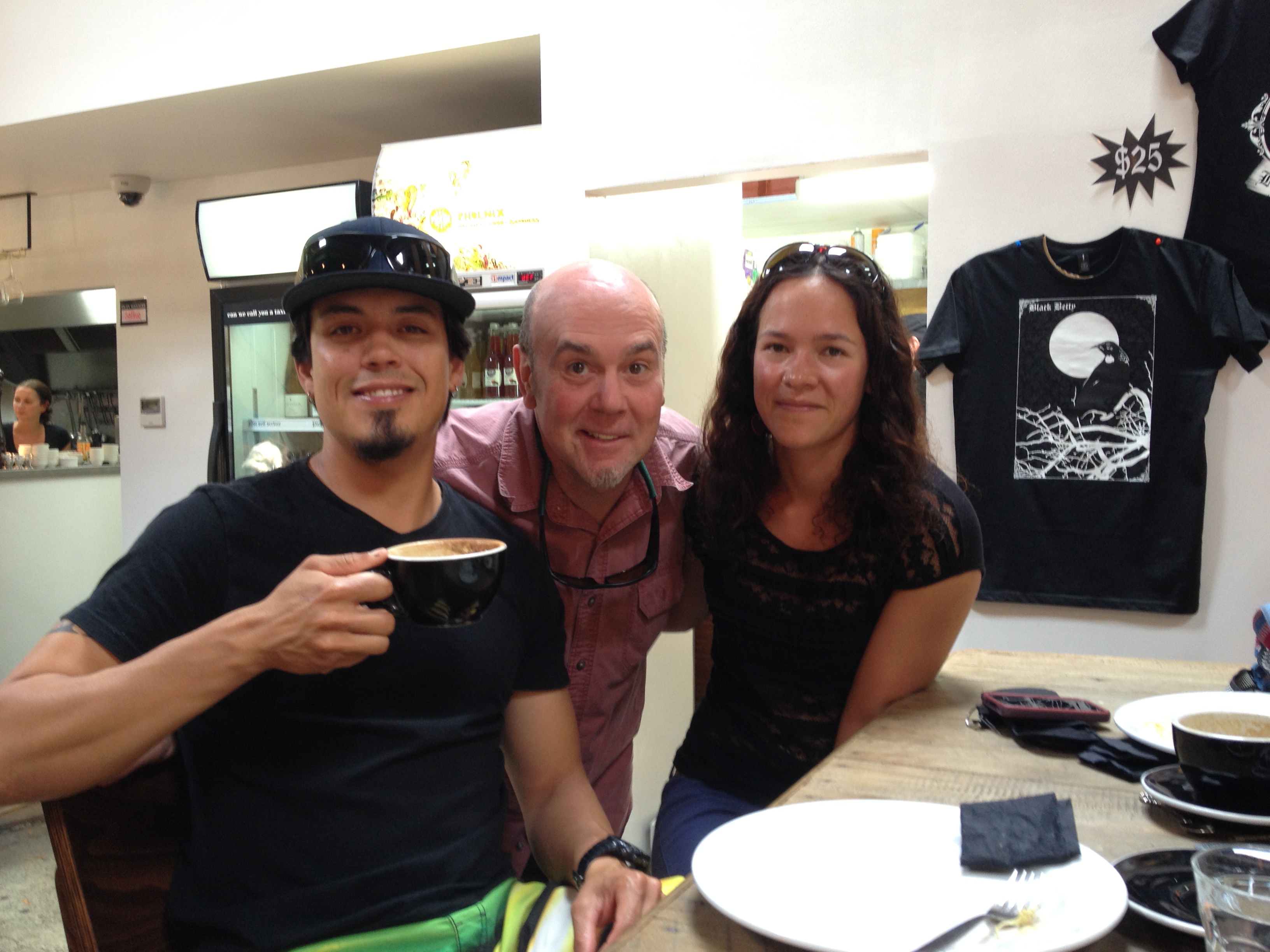
Rod and Angelique
I wish Elwin were here because it’s really spectacular. He and Angelique spent the last month in Australia, and there’s nothing like this there. Well, he’s going to just have to see the pictures I guess.
The Hooker Glacier, at the terminus, is not spectacular. It is small (relative to the massive glaciers in Patagonia we saw) and covered in an insulating blanket of rocks. But it’s still a glacier!
So Mt Cook did not disappoint. If you head to New Zealand’s South Islands, definitely check it out.
 Angelique and I also headed to the Tasman Glacier Terminus. On the way I realized O-M-G we are smack in the middle of The Lord of the Rings Battle for Gondor! There is NO question. I looked it up and verified. I don’t have pictures. But wow! They did film those scenes right there.

Spectacular Mt. Cook, and the Hooker Glacier (covered in rocks) underneath.
When we reach the trailhead I realize just how much of a magnet Mt. Cook is in January! The parking area is completely filled up and people are competing for spots. I actually got angry and left in a huff. I didn’t go on vacation to engage in an urban combat situation. Perhaps I should have been more patient! But I’d read that the Tasman Glacier’s terminus, like Hooker’s, is also gray and less-than-spectacular…that was my only consolation.
Back in Twizel, Elwin was improving! He’s a super hiker and I knew h0w hard it was for him to miss today’s hike!
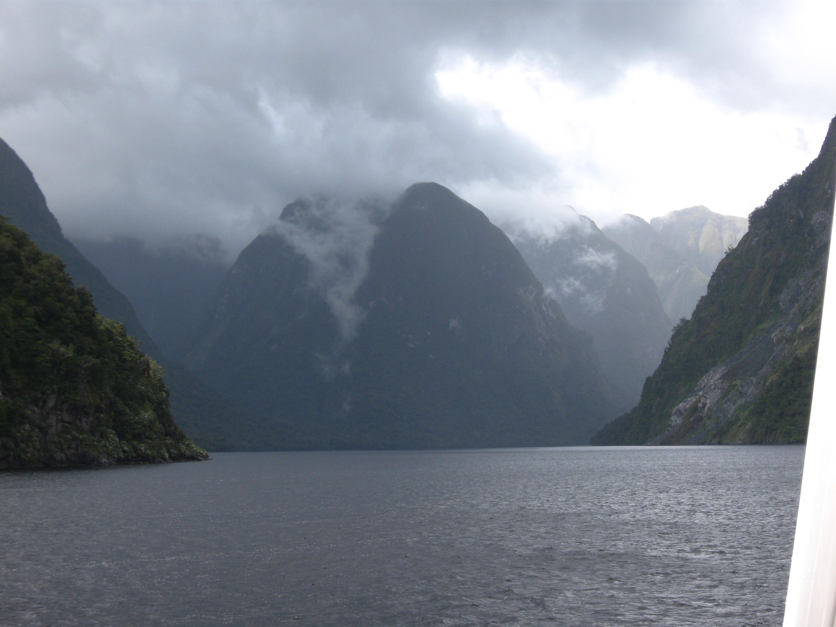
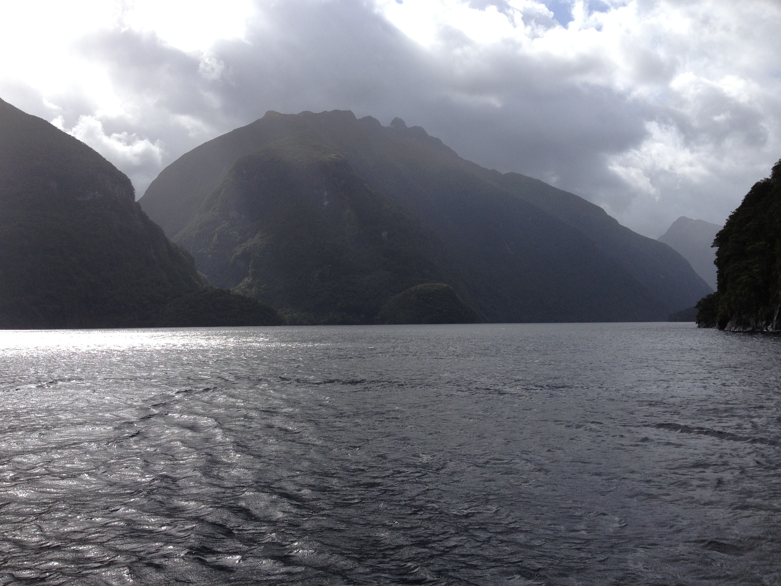
Next up – road trip past Queenstown, New Zealand, to Te Anau and Fiordland National Park!
 The next day broke sunny with a little chill in the air. We wanted to get out into it, hike, breathe, check out the sights. Get our bodies moving. Our hotel manager suggested the Kepler Track because it is so close to town.
 erness experience” will likely include nights shared with gregarious trampers from the world over. It’s just part of the Kiwi experience. The Great Walks, and lesser tracks, are found all over New Zealand and explore everything from glaciated mountains, lush semi tropical forests to warm coastal bays and inlets.
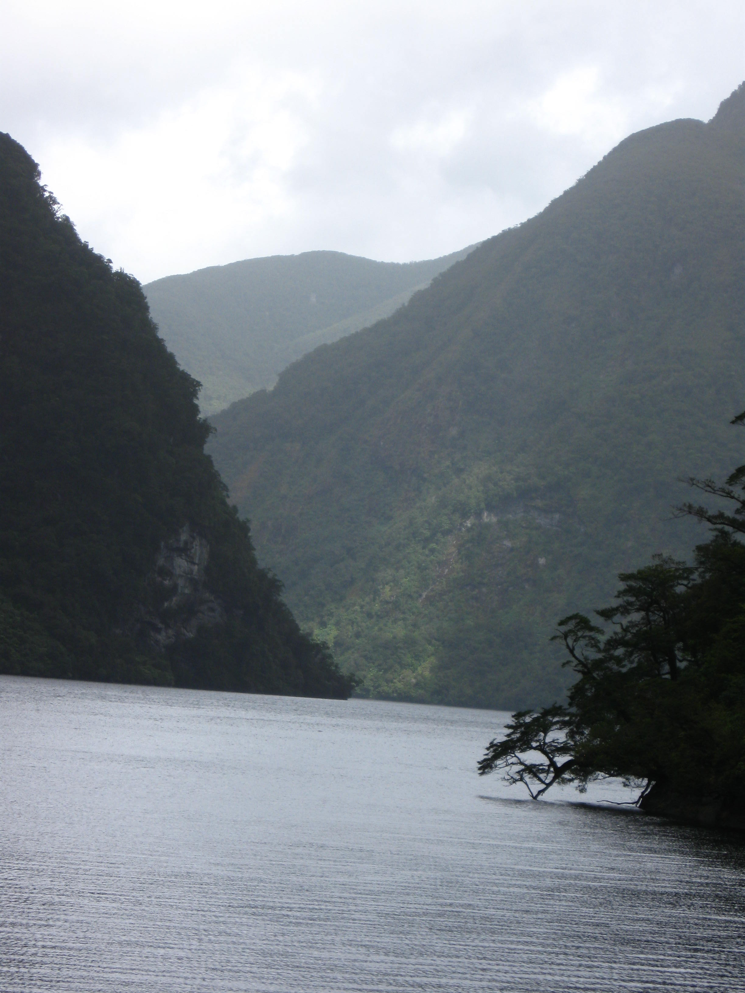
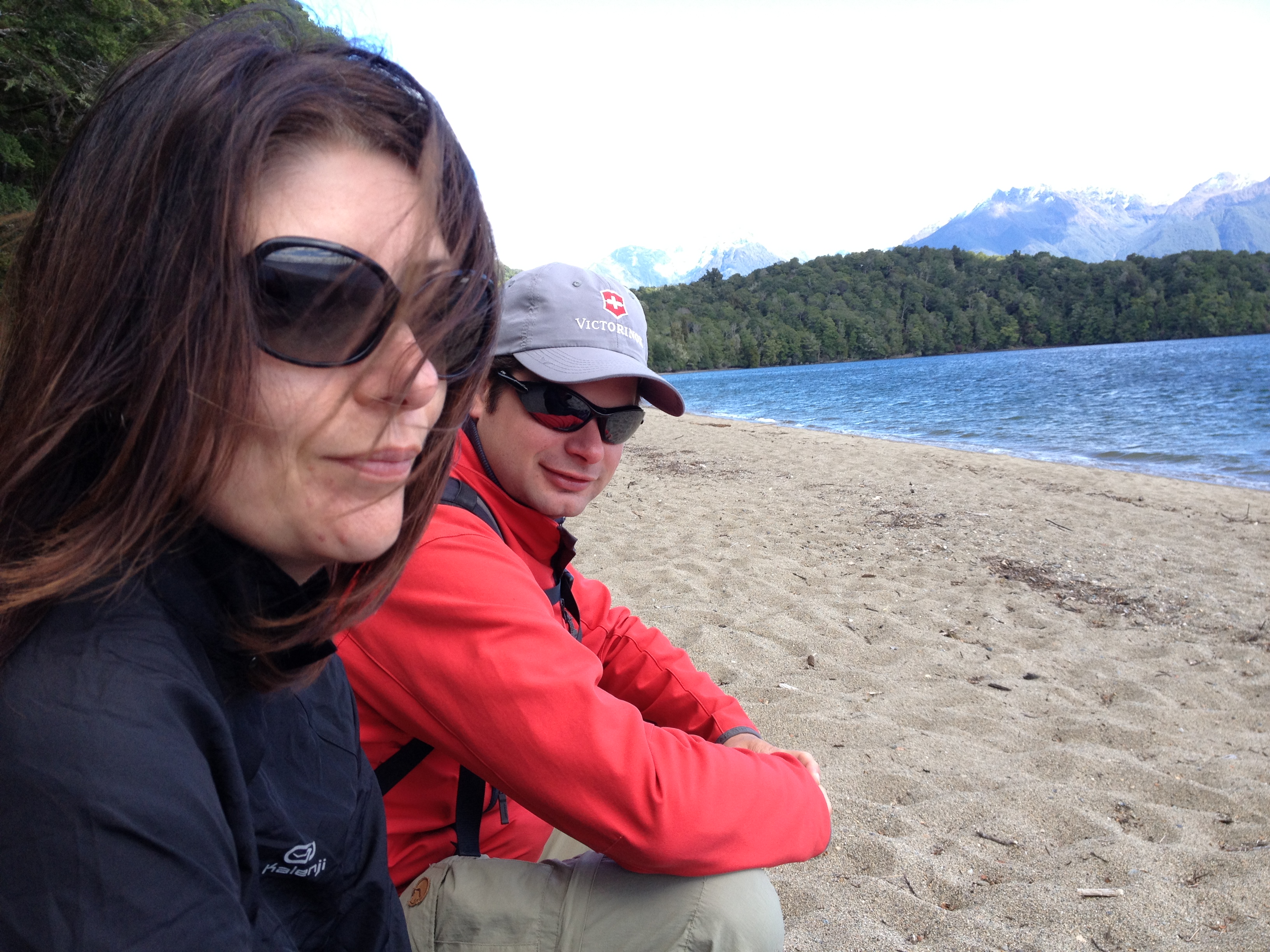 The Kepler Track begins on Lake Te Anau, following a forested path near the water. Birds like the Tui or Bellbird call all during the hike cicadas also hum.